
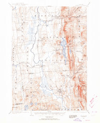
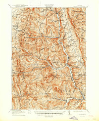
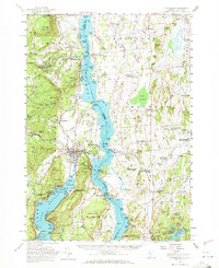
1920 Map of Brandon
USGS Topo · Published 1920About this map
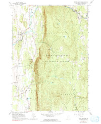
Otter Creek meanders through the central valley of this 1920 military update, defining the agricultural and industrial character of the Vermont landscape between Middlebury and Brandon. The rail network of the era is prominently displayed, showing the Rutland R. R. corridor and the Addison Branch diverging at Leicester Junction. This survey captures a moment when local industry and hospitality were deeply intertwined with the geography; a Lime Kiln sits near the tracks, while Hyde Manor serves as a landmark of the region's resort history near the Sudbury line. To the east, the terrain rises sharply into the Green Mountain foothills, where Lake Dunmore and Silver Lake are tucked beneath the heights of Mt. Moosalamoo. Small settlements like Forestdale and Farmingdale dot the drainage of the Neshobe River and Middlebury River, illustrating the distribution of early 20th-century mountain valley communities.
Find a feature on this map
71 named features on this map. Tap any name to fly to it.
Don’t see what you’re looking for? This feature index may not catch every label — zoom into the map to look around manually.
Map Details
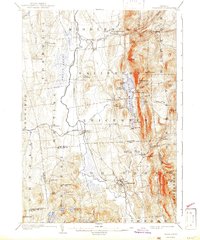
Editions of this 1920 Brandon Map
This is the sole edition of this map. No revisions or reprints were ever made.
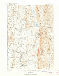
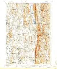
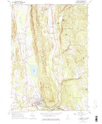
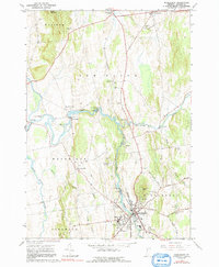
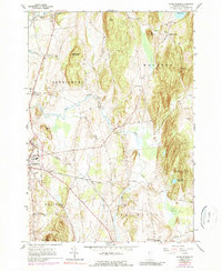
Historical Maps of Middlebury Through Time
36 maps found
1902 Brandon
Addison County, VT
1903 Middlebury
Addison County, VT
1904 Brandon
Addison County, VT
1905 Middlebury
Addison County, VT

1915 Rochester
Addison County, VT
1917 Rochester
Addison County, VT
1920 Brandon
Addison County, VT

1920 Middlebury
Addison County, VT

1927 Orwell
Addison County, VT
1943 Cornwall
Addison County, VT
1949 Bridport
Addison County, VT
1949 Orwell
Addison County, VT

1950 Bridport
Addison County, VT
1950 Ticonderoga
Addison County, VT
1963 Bristol
Addison County, VT
1963 Middlebury
Addison County, VT
1963 Monkton Boro
Addison County, VT
1963 South Mountain
Addison County, VT
1970 Bread Loaf
Addison County, VT
1970 Hancock
Addison County, VT

1983 Cornwall
Addison County, VT

1997 Bread Loaf
Addison County, VT
1997 Bristol
Addison County, VT

1997 Hancock
Addison County, VT
1997 South Mountain
Addison County, VT
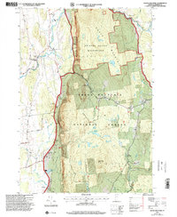
2024 Bread Loaf
Addison County, VT
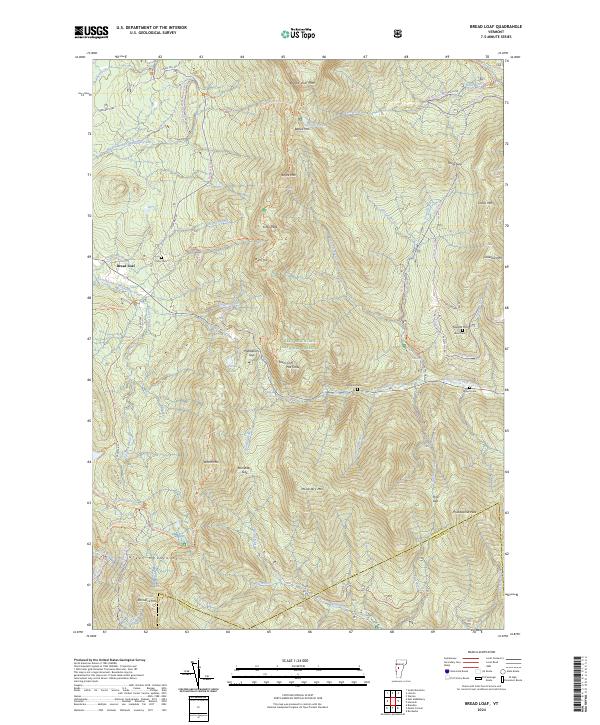
2024 Bridport
Addison County, VT
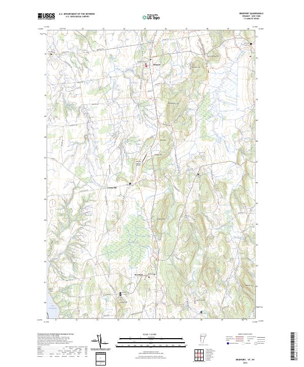
2024 Bristol
Addison County, VT
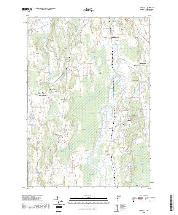
2024 Cornwall
Addison County, VT
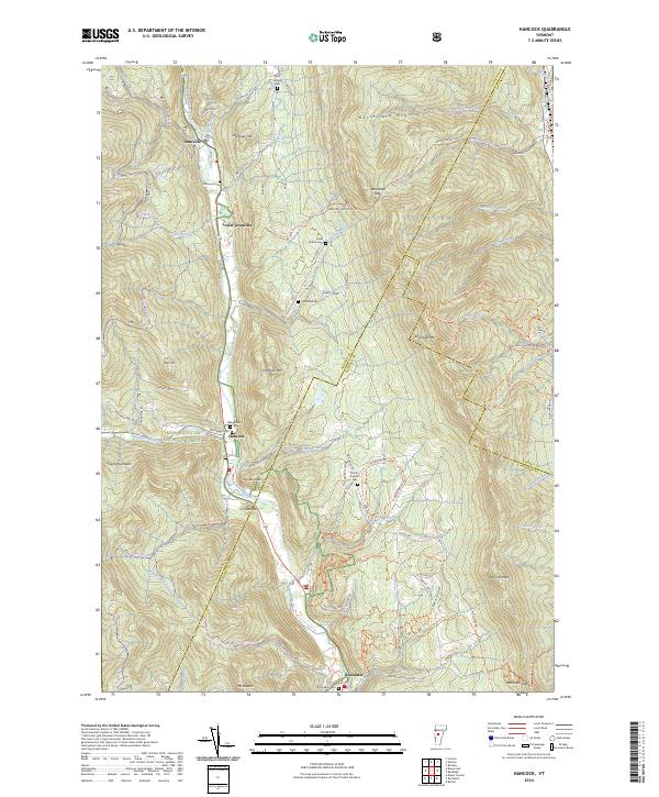
2024 Hancock
Addison County, VT
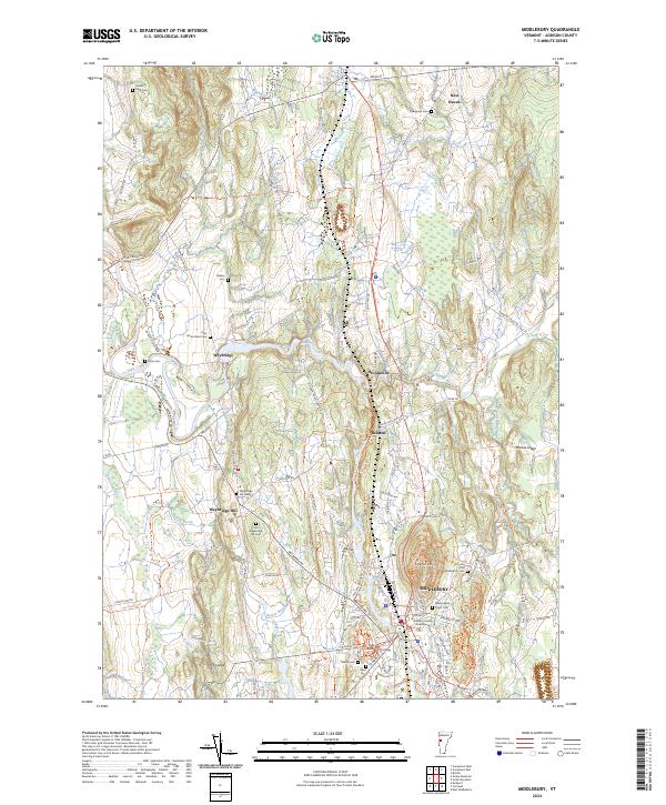
2024 Middlebury
Addison County, VT
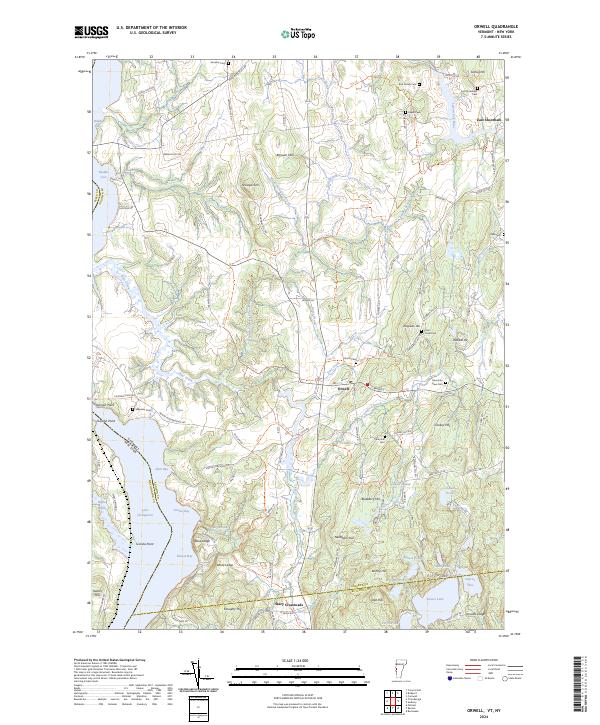
2024 Orwell
Addison County, VT
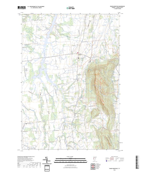
2024 Snake Mountain
Addison County, VT
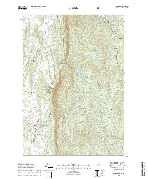
2024 South Mountain
Addison County, VT
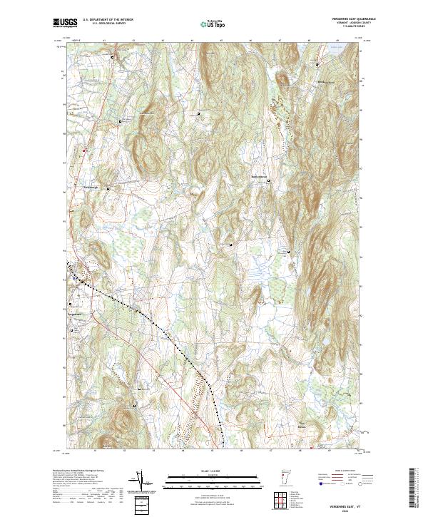
2024 Vergennes East
Addison County, VT
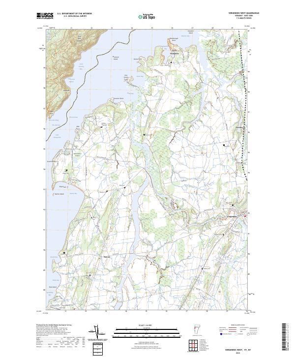
2024 Vergennes West
Addison County, VT