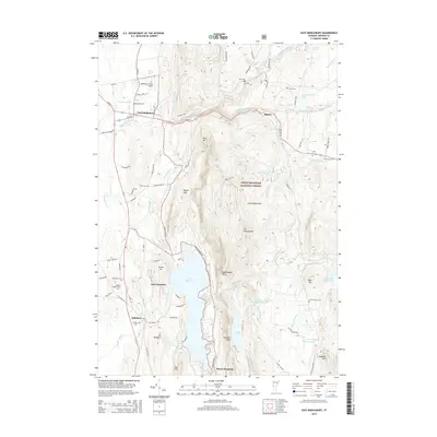
2015 Map of East Middlebury
USGS Topo · Published 2015About this map
The Middlebury River flows from the high elevations of the Green Mountains through the village of East Middlebury, marking a landscape defined by its transition from forest to valley floor. This 2015 survey captures the rural character of Addison County, where the Green Mountain National Forest occupies the eastern highlands, punctuated by peaks like Mt Moosalamoo and Rattlesnake Point. The presence of several family-named burial grounds, including Prospect Cem, Gee Cem, and Cooks Cem, provides significant geographic markers for local genealogists tracing long-established residents in the townships of Salisbury and Ripton. To the south, the expansive Lake Dunmore serves as a central recreational and hydrologic feature, fed by Sucker Brook and the Leicester River. The map also details essential infrastructure, such as the Middlebury State Airport and the complex network of mountain roads like the Natural Tpke and Robert Frost Rd, reflecting the area's blend of aviation, forestry, and literary heritage.
Find a feature on this map
77 named features on this map. Tap any name to fly to it.
Don’t see what you’re looking for? This feature index may not catch every label — zoom into the map to look around manually.
Map Details
Editions of this 2015 East Middlebury Map
This is the sole edition of this map. No revisions or reprints were ever made.
Other maps of this area

1902 · Brandon
USGS Topo · 1:62,500

1903 · Middlebury
USGS Topo · 1:62,500

1904 · Brandon
USGS Topo · 1:62,500

1905 · Middlebury
USGS Topo · 1:62,500

1915 · Rochester
USGS Topo · 1:62,500

1917 · Rochester
USGS Topo · 1:62,500

1919 · Lincoln Mountain
USGS Topo · 1:62,500

1920 · Lincoln Mountain
USGS Topo · 1:48,000

1920 · Brandon
USGS Topo · 1:62,500

1920 · Middlebury
USGS Topo · 1:62,500