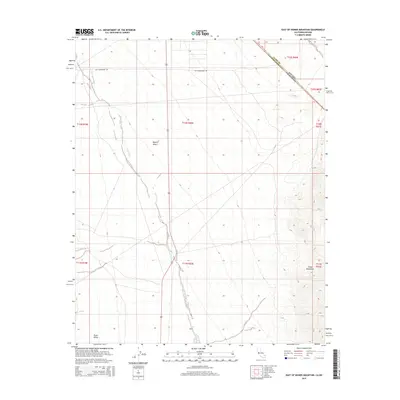
2015 Map of East of Homer Mountain
USGS Topo · Published 2015About this map
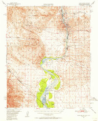
Old Government Rd bisects the arid expanse of the Mojave Desert here, tracing a historical transportation corridor across the California-Nevada state line. This 2015 survey reveals a landscape defined by dramatic relief, where the eastern foothills of the Dead Mountains rise abruptly from the desert floor. The vast drainage of Piute Wash meanders southward through the Piute Valley, illustrating the complex hydrological patterns that shape this corner of San Bernardino County. The intersection of the Nevada California border with the Clark Co San Bernardino Co line in the northeast corner highlights the administrative complexity of this sparsely populated transition zone between states.
Find a feature on this map
15 named features on this map. Tap any name to fly to it.
Don’t see what you’re looking for? This feature index may not catch every label — zoom into the map to look around manually.
Map Details
Editions of this 2015 East of Homer Mountain Map
This is the sole edition of this map. No revisions or reprints were ever made.
Other maps of this area
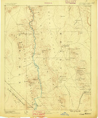
1886 · Camp Mohave
USGS Topo · 1:250,000
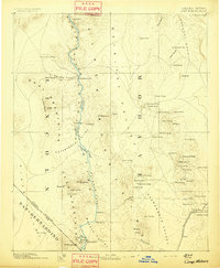
1892 · Camp Mohave
USGS Topo · 1:250,000
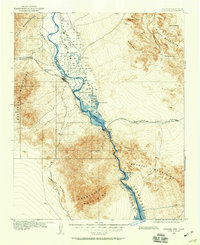
1903 · Needles
USGS Topo · 1:125,000
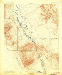
1904 · Needles Special
USGS Topo · 1:125,000
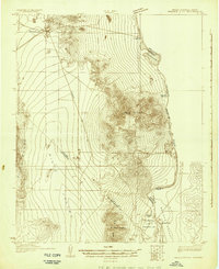
1926 · Mohave City
USGS Topo · 1:96,000
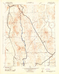
1942 · Camp Mohave
USGS Topo · 1:250,000
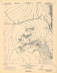
1943 · Bannock
USGS Topo · 1:62,500

1947 · Kingman
USGS Topo · 1:250,000

1948 · Kingman
USGS Topo · 1:250,000
1950 · Davis Dam
USGS Topo · 1:62,500