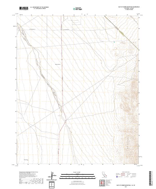
2021 Map of East of Homer Mountain
USGS Topo · Published 2021About this map
The Mojave Desert terrain dominates this landscape, where the arid flats of the Piute Valley meet the rising elevations of the Dead Mountains along the eastern edge. A corridor of transportation history is visible in the transit network, most notably the Old Government Rd crossing the northern portion of the sheet. This historic route represents a critical 19th-century desert trail system used for military and civilian passage between the Colorado River and coastal California. Modern infrastructure follows similar logic, with Us Rte 95 cutting north-to-south through the desert floor. The map also documents the precise jurisdictional boundary where Nevada's Clark County meets California's San Bernardino County, highlighting the remote desert borderlands of the American Southwest.
Find a feature on this map
15 named features on this map. Tap any name to fly to it.
Don’t see what you’re looking for? This feature index may not catch every label — zoom into the map to look around manually.
Map Details
Editions of this 2021 East of Homer Mountain Map
This is the sole edition of this map. No revisions or reprints were ever made.
Other maps of this area

1886 · Camp Mohave
USGS Topo · 1:250,000

1892 · Camp Mohave
USGS Topo · 1:250,000

1903 · Needles
USGS Topo · 1:125,000

1904 · Needles Special
USGS Topo · 1:125,000

1926 · Mohave City
USGS Topo · 1:96,000

1942 · Camp Mohave
USGS Topo · 1:250,000

1943 · Bannock
USGS Topo · 1:62,500

1947 · Kingman
USGS Topo · 1:250,000

1948 · Kingman
USGS Topo · 1:250,000

1950 · Davis Dam
USGS Topo · 1:62,500