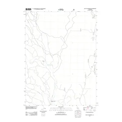
2012 Map of East of Pondosa
USGS Topo · Published 2012About this map
Spalding Corner and Hammond Crossing anchor this 2012 survey of eastern Shasta County, highlighting a landscape defined by forest management and seasonal watercourses. The drainage of Bear Cr snakes through the central terrain, bordered by a network of timber and access routes such as W Lava Rim Rd and Ted Elder Rd. Near the southern boundary, the presence of the Dana Cem provides a specific point of interest for genealogists tracing local families in this part of Northern California.
Find a feature on this map
24 named features on this map. Tap any name to fly to it.
Don’t see what you’re looking for? This feature index may not catch every label — zoom into the map to look around manually.
Map Details
Editions of this 2012 East of Pondosa Map
This is the sole edition of this map. No revisions or reprints were ever made.
Other maps of this area

1886 · Modoc Lava Bed
USGS Topo · 1:250,000

1892 · Modoc Lava-Bed
USGS Topo · 1:250,000

1932 · Bartle
USGS Topo · 1:96,000

1939 · Bartle
USGS Topo · 1:125,000

1954 · Alturas
USGS Topo · 1:250,000

1958 · Alturas
USGS Topo · 1:250,000

1961 · Hambone
USGS Topo · 1:62,500

1961 · Pondosa
USGS Topo · 1:62,500

1961 · Fall River Mills
USGS Topo · 1:62,500

1962 · Alturas
USGS Topo · 1:250,000