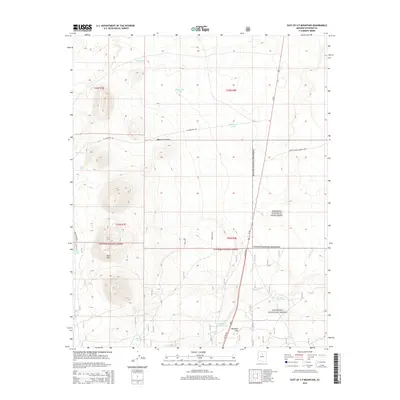
2014 Map of East of S P Mountain
USGS Topo · Published 2014About this map
The high volcanic landscape of the Mogollon Plateau dominates this topographic study, where the arid environment is defined by an extensive network of water catchment systems. Dozens of isolated cattle tanks and trick tanks, such as Lava Tank, Lone Tree Tank, and Juniper Trick Tank, are scattered across the terrain to sustain livestock in this high-desert ranching country. The map captures the transition from the protected archaeological lands of Wupatki National Monument to the timber and grazing lands of the Coconino National Forest.
Find a feature on this map
25 named features on this map. Tap any name to fly to it.
Don’t see what you’re looking for? This feature index may not catch every label — zoom into the map to look around manually.
Map Details
Editions of this 2014 East of S P Mountain Map
This is the sole edition of this map. No revisions or reprints were ever made.
Other maps of this area
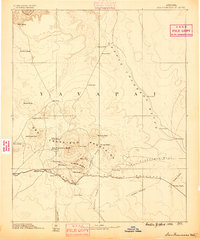
1886 · San Francisco Mtns
USGS Topo · 1:250,000
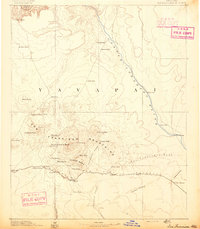
1891 · San Francisco Mtns
USGS Topo · 1:250,000
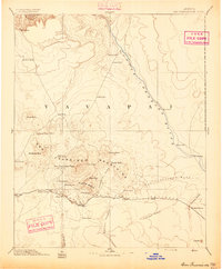
1894 · San Francisco Mtns
USGS Topo · 1:250,000
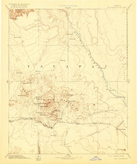
1899 · San Francisco Mtns
USGS Topo · 1:250,000
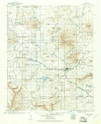
1908 · Flagstaff
USGS Topo · 1:125,000
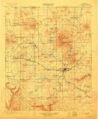
1912 · Flagstaff
USGS Topo · 1:125,000

1947 · Flagstaff
USGS Topo · 1:250,000
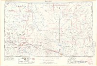
1954 · Flagstaff
USGS Topo · 1:250,000
1958 · Flagstaff
USGS Topo · 1:250,000
1960 · Flagstaff
USGS Topo · 1:250,000