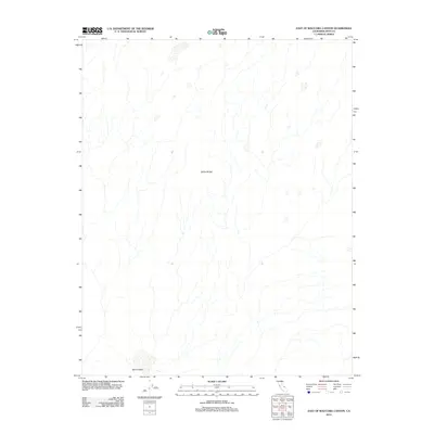
2012 Map of East of Waucoba Canyon
USGS Topo · Published 2012About this map
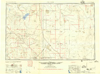
The Saline Range dominates the landscape of Inyo County in this 2012 topographic record. This high-desert terrain is characterized by a complex network of ephemeral drainage patterns that flow downward toward the Saline Valley at the southern edge of the sheet. The survey illustrates the stark, unpopulated character of this portion of the California desert, where the lack of human settlements or improved roads highlights the region's preservation as an undeveloped natural area. Data from the National Hydrography Dataset and National Elevation Dataset provide a detailed look at the landforms and dry washes that define the area's hydrology and relief, offering a precise look at the land east of Waucoba Canyon during the early twenty-first century.
Find a feature on this map
2 named features on this map. Tap any name to fly to it.
Don’t see what you’re looking for? This feature index may not catch every label — zoom into the map to look around manually.
Map Details
Editions of this 2012 East of Waucoba Canyon Map
This is the sole edition of this map. No revisions or reprints were ever made.
Other maps of this area
1908 · Lida
USGS Topo · 1:250,000

1908 · Ballarat
USGS Topo · 1:250,000
1913 · Lida
USGS Topo · 1:250,000

1913 · Ballarat
USGS Topo · 1:250,000

1948 · Death Valley
USGS Topo · 1:250,000
1951 · Waucoba Wash
USGS Topo · 1:62,500

1954 · Death Valley
USGS Topo · 1:250,000

1954 · Goldfield
USGS Topo · 1:250,000
1955 · Goldfield
USGS Topo · 1:250,000

1956 · Death Valley
USGS Topo · 1:250,000