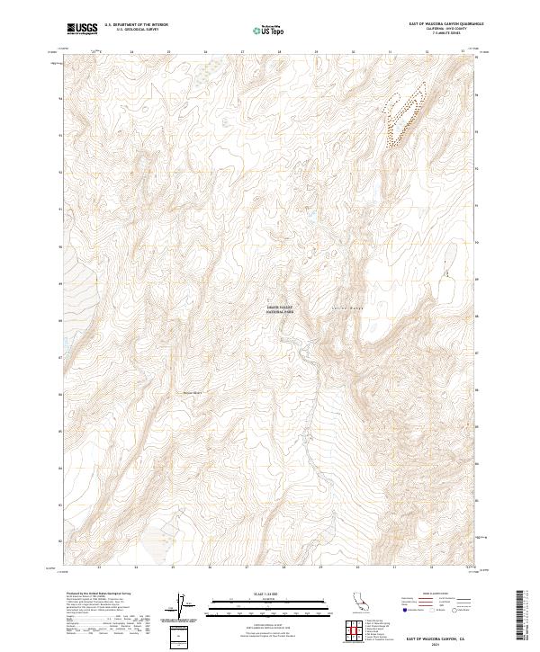
2021 Map of East of Waucoba Canyon
USGS Topo · Published 2021About this map
Death Valley National Park encompasses the majority of this high-altitude landscape, where the arid reaches of the Mojave Desert meet the rising elevations of the Saline Range. The terrain is defined by a complex network of dry drainage patterns, most notably the south-trending Waucoba Wash, which carves through the alluvial fans and rocky outcrops of the Inyo County interior. This 2021 survey documents the remote transition between desert floor and mountain ridge, capturing a wilderness devoid of modern settlements or developed roads. The topographical detail reveals the stark isolation of this corner of the park, focusing on the natural watercourses and relief that have shaped travel and survival in this portion of the eastern Sierra Nevada rain shadow for generations.
Find a feature on this map
9 named features on this map. Tap any name to fly to it.
Don’t see what you’re looking for? This feature index may not catch every label — zoom into the map to look around manually.
Map Details
Editions of this 2021 East of Waucoba Canyon Map
This is the sole edition of this map. No revisions or reprints were ever made.
Other maps of this area

1908 · Lida
USGS Topo · 1:250,000

1908 · Ballarat
USGS Topo · 1:250,000

1913 · Lida
USGS Topo · 1:250,000

1913 · Ballarat
USGS Topo · 1:250,000

1948 · Death Valley
USGS Topo · 1:250,000

1951 · Waucoba Wash
USGS Topo · 1:62,500

1954 · Death Valley
USGS Topo · 1:250,000

1954 · Goldfield
USGS Topo · 1:250,000

1955 · Goldfield
USGS Topo · 1:250,000

1956 · Death Valley
USGS Topo · 1:250,000