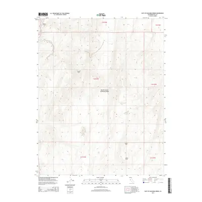
2015 Map of East of Waucoba Spring
USGS Topo · Published 2015About this map
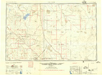
Death Valley National Park encompasses a significant portion of this high-desert landscape, where the northern reaches of the Mojave Desert transition into the sharp relief of the Saline Range. The topography is dominated by dramatic elevation changes, notably the ascent toward Eureka Peak in the southeast and the carved depths of Marble Canyon in the northwest. This 2015 survey reflects a wilderness area defined by its geological formations rather than human settlement, serving as a critical reference for understanding the primitive boundaries and land management divisions within the park. The map meticulously documents the Public Land Survey System grids, including townships t9s r38e and t10s r39e, providing a precise spatial framework for this remote corner of Inyo County.
Find a feature on this map
11 named features on this map. Tap any name to fly to it.
Don’t see what you’re looking for? This feature index may not catch every label — zoom into the map to look around manually.
Map Details
Editions of this 2015 East of Waucoba Spring Map
This is the sole edition of this map. No revisions or reprints were ever made.
Other maps of this area
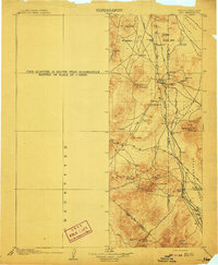
1908 · Lida
USGS Topo · 1:250,000

1908 · Ballarat
USGS Topo · 1:250,000
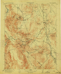
1913 · Lida
USGS Topo · 1:250,000

1913 · Ballarat
USGS Topo · 1:250,000

1948 · Death Valley
USGS Topo · 1:250,000
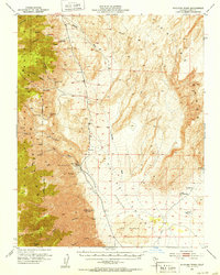
1951 · Waucoba Wash
USGS Topo · 1:62,500

1954 · Death Valley
USGS Topo · 1:250,000

1954 · Goldfield
USGS Topo · 1:250,000
1955 · Goldfield
USGS Topo · 1:250,000

1956 · Death Valley
USGS Topo · 1:250,000