
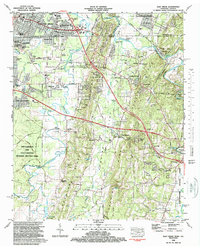
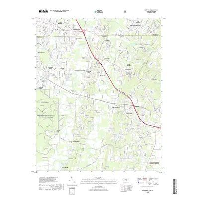
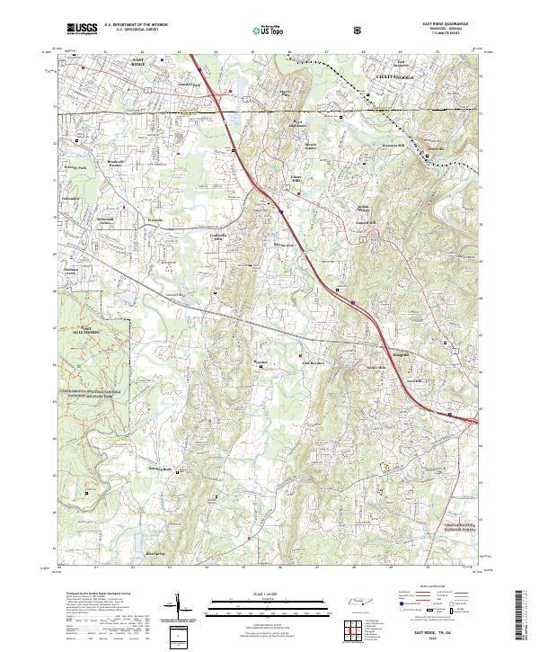
1935 Map of East Ridge
USGS Topo · Published 1935About this map
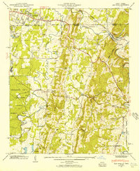
The Chickamauga and Chattanooga National Military Park dominates the western landscape of this 1935 survey, preserving the grounds of a pivotal Civil War conflict. Adjacent to the park, the Fort Oglethorpe Military Reservation indicates a significant federal presence near the state line. The topography is defined by Boynton Valley and the winding courses of West Chickamauga Creek and South Chickamauga Creek, which carved the lowland routes used by early settlers and the Nashville Chattanooga and St Louis railroad.
Find a feature on this map
48 named features on this map. Tap any name to fly to it.
Don’t see what you’re looking for? This feature index may not catch every label — zoom into the map to look around manually.
Map Details
Editions of this 1935 East Ridge Map
This is the sole edition of this map. No revisions or reprints were ever made.
Historical Maps of Chattanooga Through Time
11 maps found
1935 East Ridge
Hamilton County, TN
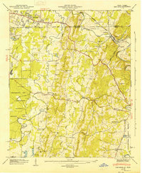
1943 East Ridge
Hamilton County, TN
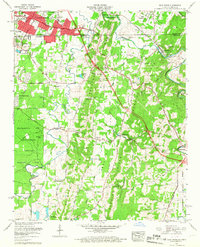
1946 East Ridge
Hamilton County, TN
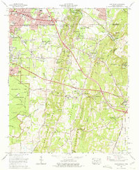
1958 East Ridge
Hamilton County, TN
1969 East Ridge
Hamilton County, TN
1982 East Ridge
Hamilton County, TN
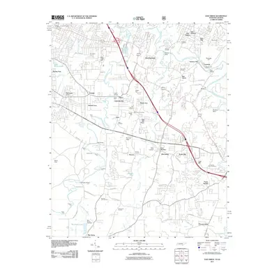
2011 East Ridge
Hamilton County, TN
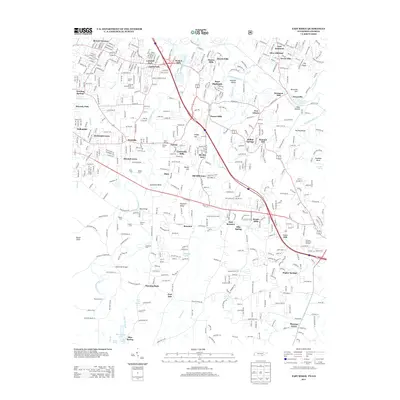
2013 East Ridge
Hamilton County, TN
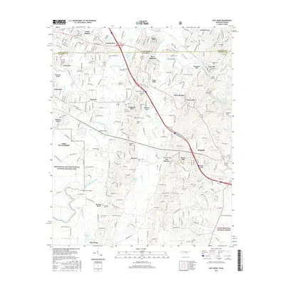
2016 East Ridge
Hamilton County, TN
2019 East Ridge
Hamilton County, TN
2022 East Ridge
Hamilton County, TN