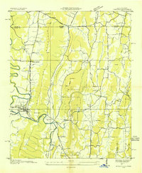
1935 Map of Ringgold
USGS Topo · Published 1935About this map
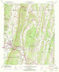
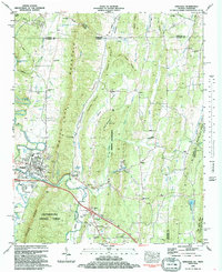
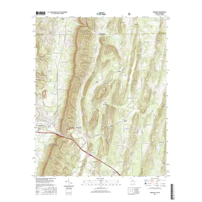
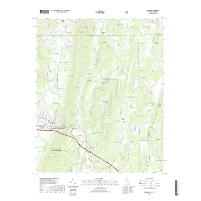
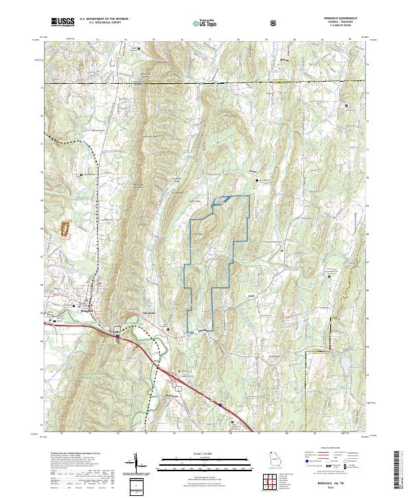
Ringgold serves as the focal point for this mid-1930s landscape, where the Nashville Chattanooga and St Louis railroad cuts through the valley floor. The terrain is defined by the prominent North-South ridges of White Oak Mountain, Chero Kee Ridge, and Taylor Ridge, which dictated the early settlement patterns and transport routes of the Georgia-Tennessee borderlands. A significant portion of the central terrain is occupied by a large Military Reservation, featuring a Target Range, Dam, and a Boy Scout Camp near Catoosa Springs. Rural life is etched into the map through numerous family-named landmarks and community institutions like Salem Ch, Ebenezer Ch, and Union Academy. The presence of an Airway Beacon near U.S. Highway No 41 E & 76 highlights the era's emerging infrastructure, while various rock springs across the county point to the region's hydrogeology.
Find a feature on this map
55 named features on this map. Tap any name to fly to it.
Don’t see what you’re looking for? This feature index may not catch every label — zoom into the map to look around manually.
Map Details
Editions of this 1935 Ringgold Map
This is the sole edition of this map. No revisions or reprints were ever made.
Historical Maps of Ringgold Through Time
9 maps found