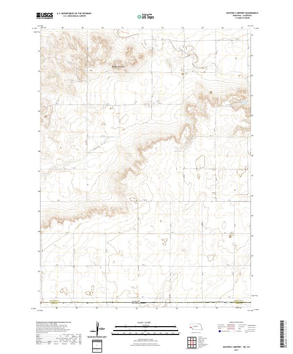
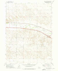
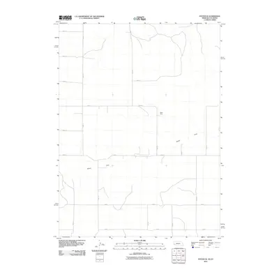
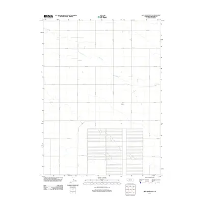
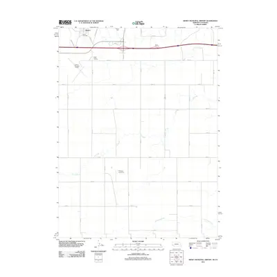
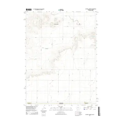
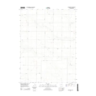
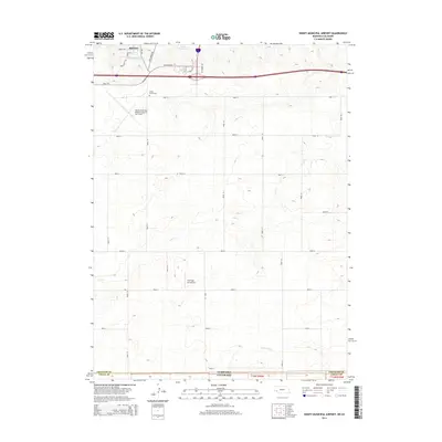
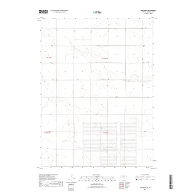
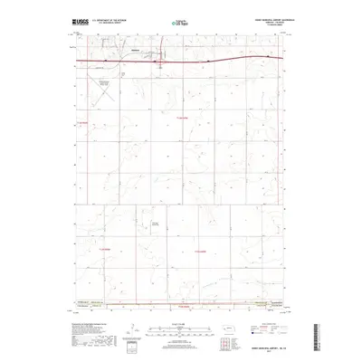
2021 Map of Easterly Airport
USGS Topo · Published 2021About this map
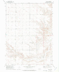
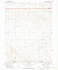
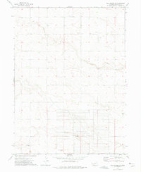
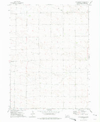
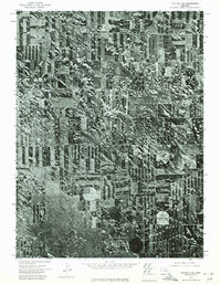
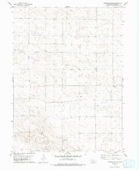
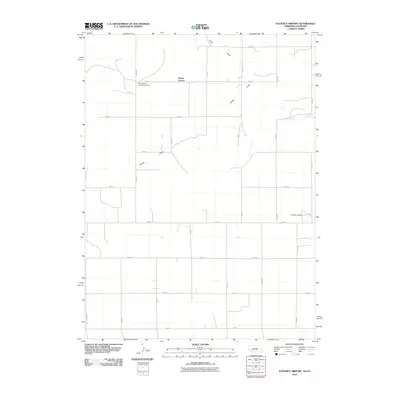
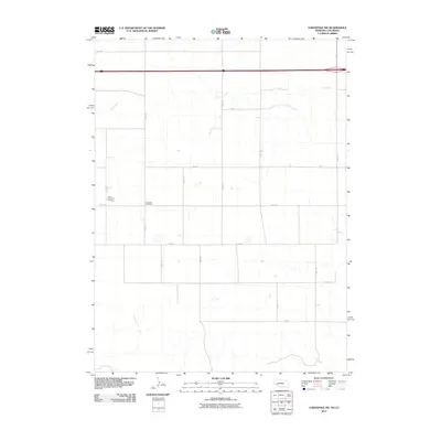
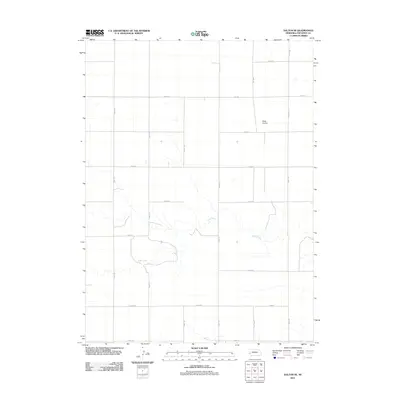
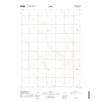
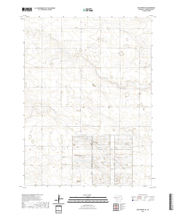
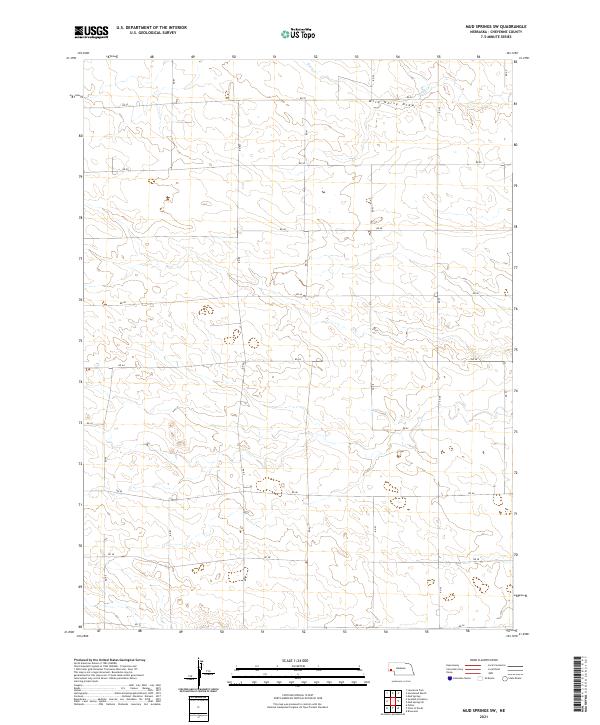
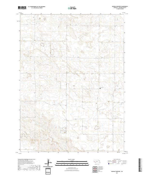
Mount Vernon sits atop the high plains of the Nebraska-Colorado border, a landscape defined by the drainage patterns of seasonal draws and intermittent springs. This modern survey illustrates the expansive section-line road network that segments the prairie, where routes like RD 18 and RD 2 provide the primary infrastructure for this agricultural region. The terrain is marked by the winding courses of Sidney Draw and Sand Draw, which carve shallow depressions across the plateau. To the east, the presence of Chambers Spring indicates a rare localized water source in an otherwise arid environment. Along the southern edge, the map documents the political boundary between Cheyenne and Logan counties, where the state line meets at the intersection of Cow Cr.
Find a feature on this map
21 named features on this map. Tap any name to fly to it.
Don’t see what you’re looking for? This feature index may not catch every label — zoom into the map to look around manually.
Map Details
Editions of this 2021 Easterly Airport Map
This is the sole edition of this map. No revisions or reprints were ever made.
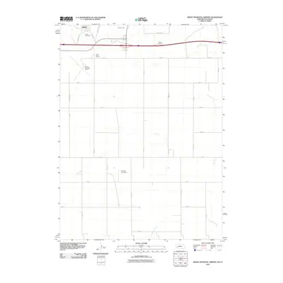
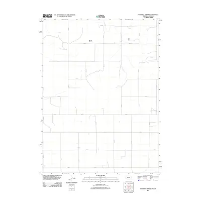
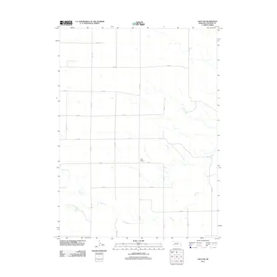
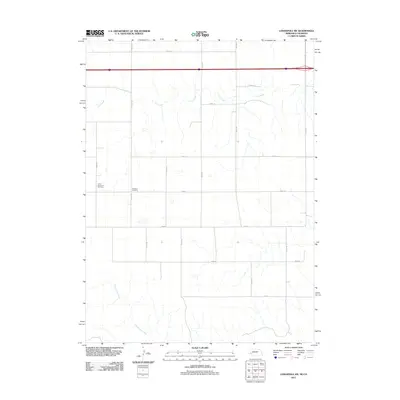
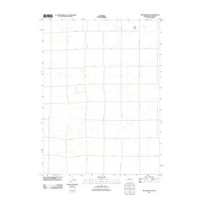
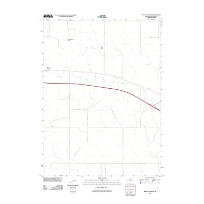
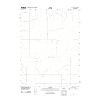
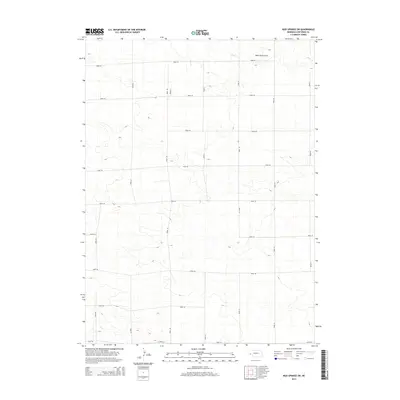
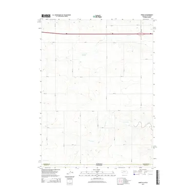
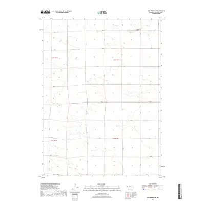
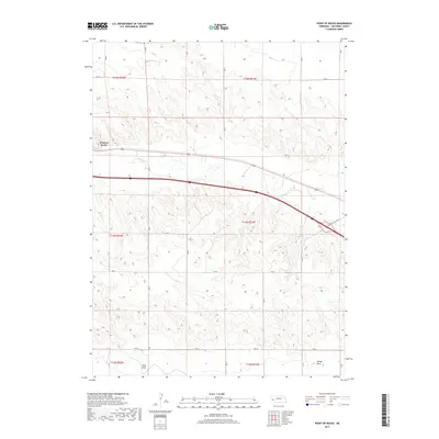
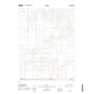
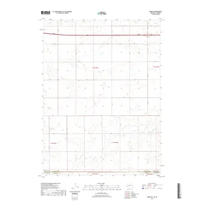
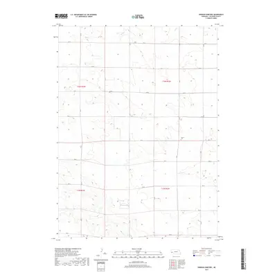
Historical Maps of Mount Vernon Through Time
66 maps found
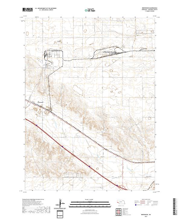
1972 Brownson
Cheyenne County, NE
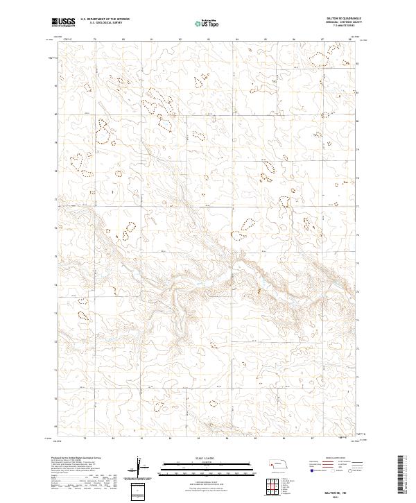
1972 Dalton SE
Cheyenne County, NE
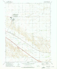
1972 Easterly Airport
Cheyenne County, NE
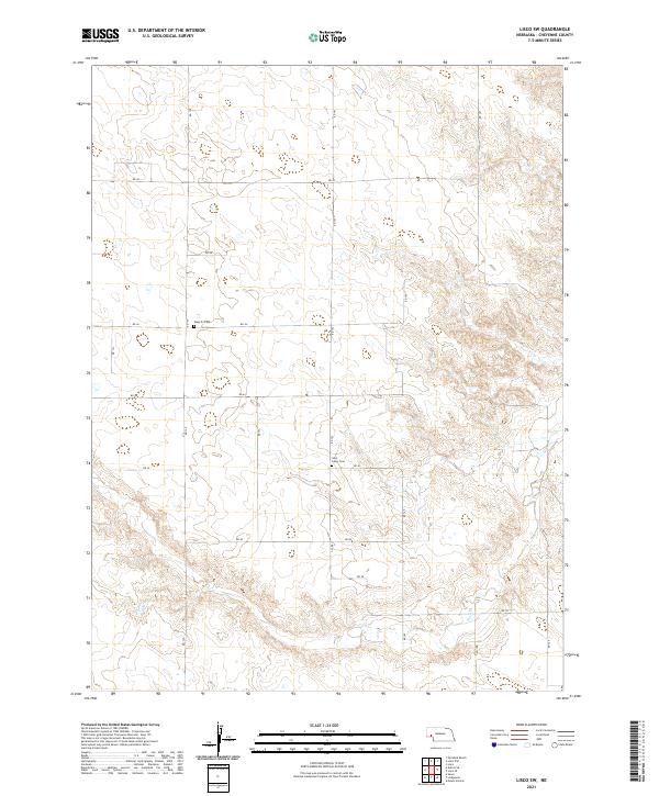
1972 Lisco SW
Cheyenne County, NE
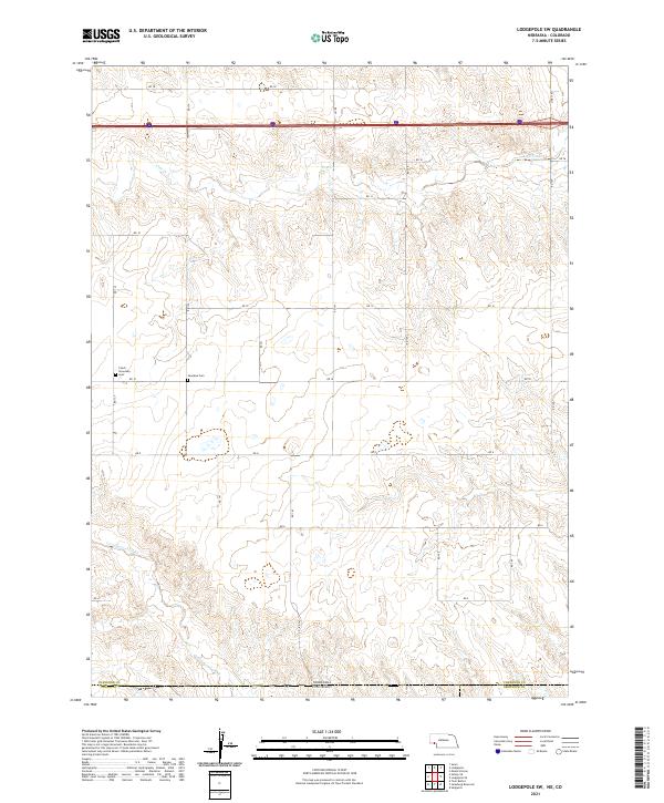
1972 Lodgepole SW
Cheyenne County, NE
1972 Mud Springs SE
Cheyenne County, NE
1972 Mud Springs SW
Cheyenne County, NE
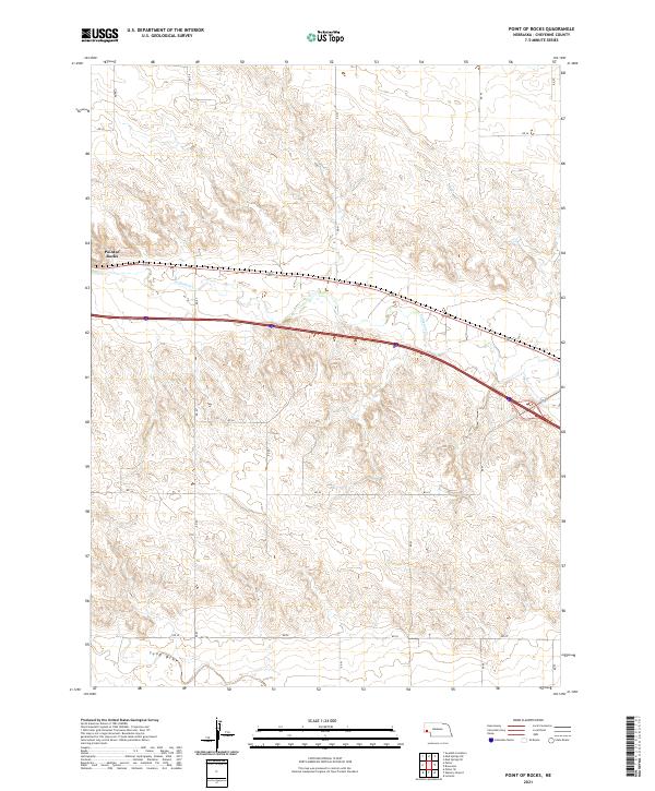
1972 Point Of Rocks
Cheyenne County, NE
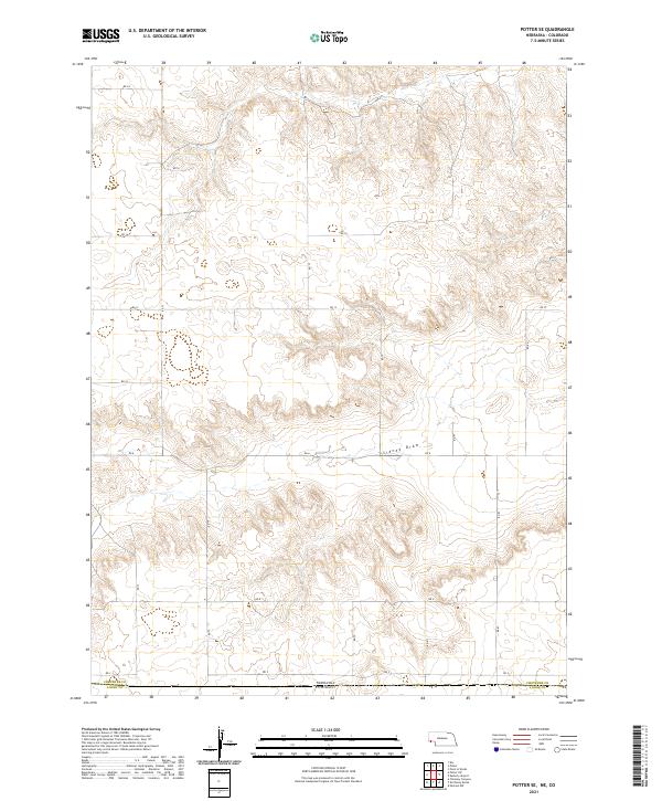
1972 Potter SE
Cheyenne County, NE
1972 Sidney Muni. Airport
Cheyenne County, NE
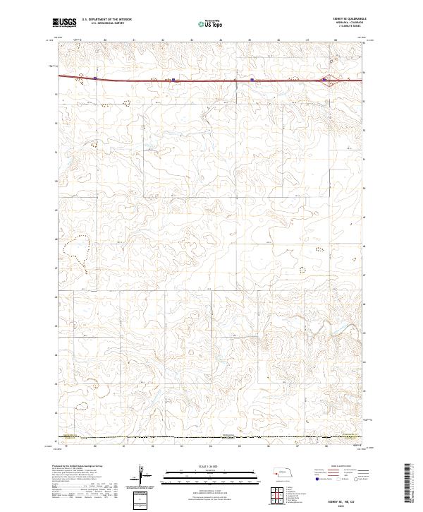
1972 Sidney SE
Cheyenne County, NE
1973 Potter 2 SE
Cheyenne County, NE
1979 Swedish Cemetery
Cheyenne County, NE
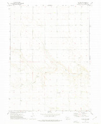
2010 Easterly Airport
Cheyenne County, NE
2010 Lodgepole SW
Cheyenne County, NE
2010 Potter SE
Cheyenne County, NE
2010 Sidney Municipal Airport
Cheyenne County, NE
2010 Sidney SE
Cheyenne County, NE
2011 Brownson
Cheyenne County, NE
2011 Dalton SE
Cheyenne County, NE
2011 Easterly Airport
Cheyenne County, NE
2011 Lisco SW
Cheyenne County, NE
2011 Lodgepole SW
Cheyenne County, NE
2011 Mud Springs SE
Cheyenne County, NE
2011 Mud Springs SW
Cheyenne County, NE
2011 Point of Rocks
Cheyenne County, NE
2011 Potter SE
Cheyenne County, NE
2011 Sidney Municipal Airport
Cheyenne County, NE
2011 Sidney SE
Cheyenne County, NE
2011 Smyrna Cemetery
Cheyenne County, NE
2014 Brownson
Cheyenne County, NE
2014 Dalton SE
Cheyenne County, NE
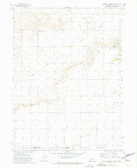
2014 Easterly Airport
Cheyenne County, NE
2014 Lisco SW
Cheyenne County, NE
2014 Lodgepole SW
Cheyenne County, NE
2014 Mud Springs SE
Cheyenne County, NE
2014 Mud Springs SW
Cheyenne County, NE
2014 Point of Rocks
Cheyenne County, NE
2014 Potter SE
Cheyenne County, NE
2014 Sidney Municipal Airport
Cheyenne County, NE
2014 Sidney SE
Cheyenne County, NE
2014 Smyrna Cemetery
Cheyenne County, NE
2017 Brownson
Cheyenne County, NE
2017 Dalton SE
Cheyenne County, NE
2017 Easterly Airport
Cheyenne County, NE
2017 Lisco SW
Cheyenne County, NE
2017 Lodgepole SW
Cheyenne County, NE
2017 Mud Springs SE
Cheyenne County, NE
2017 Mud Springs SW
Cheyenne County, NE
2017 Point of Rocks
Cheyenne County, NE
2017 Potter SE
Cheyenne County, NE
2017 Sidney Municipal Airport
Cheyenne County, NE
2017 Sidney SE
Cheyenne County, NE
2017 Smyrna Cemetery
Cheyenne County, NE
2021 Brownson
Cheyenne County, NE
2021 Dalton SE
Cheyenne County, NE
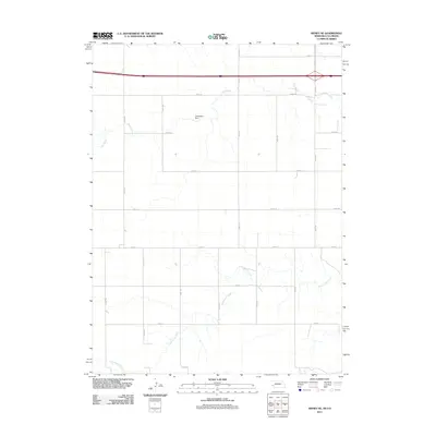
2021 Easterly Airport
Cheyenne County, NE
2021 Lisco SW
Cheyenne County, NE
2021 Lodgepole SW
Cheyenne County, NE
2021 Mud Springs SE
Cheyenne County, NE
2021 Mud Springs SW
Cheyenne County, NE
2021 Point of Rocks
Cheyenne County, NE
2021 Potter SE
Cheyenne County, NE

2021 Sidney Municipal Airport
Cheyenne County, NE
2021 Sidney SE
Cheyenne County, NE
2021 Smyrna Cemetery
Cheyenne County, NE