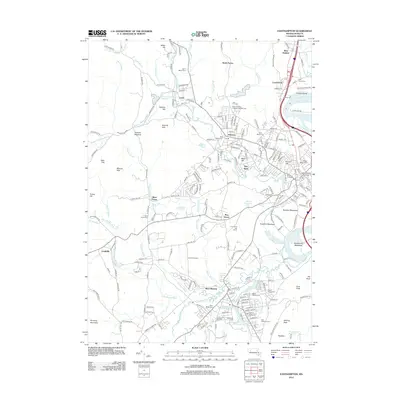
2012 Map of Easthampton
USGS Topo · Published 2012About this map
Florence and Bay State anchor this detailed study of the Pioneer Valley, where the Mill River winds past established industrial and academic centers. The presence of Smith College and the Commercial College highlights the area's long-standing educational significance, while the numerous burial grounds like Saint Brigids Cem and Saint Marys Cem provide a deep map for genealogical research. The landscape transitions from the developed corridors of Leeds and West Hatfield into the higher elevations of the Sawmill Hills and Mineral Hills to the west.
Find a feature on this map
142 named features on this map. Tap any name to fly to it.
Don’t see what you’re looking for? This feature index may not catch every label — zoom into the map to look around manually.
Map Details
Editions of this 2012 Easthampton Map
This is the sole edition of this map. No revisions or reprints were ever made.
Other maps of this area

1885 · Northampton
USGS Topo · 1:62,500

1886 · Springfield
USGS Topo · 1:62,500

1886 · Chesterfield
USGS Topo · 1:62,500

1886 · Northampton
USGS Topo · 1:62,500

1887 · Granville
USGS Topo · 1:62,500

1888 · Chesterfield
USGS Topo · 1:62,500

1889 · Springfield
USGS Topo · 1:62,500

1889 · Granville
USGS Topo · 1:62,500

1891 · Northampton
USGS Topo · 1:62,500

1893 · Northampton
USGS Topo · 1:62,500