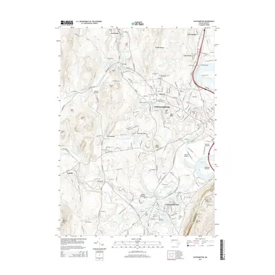
2015 Map of Easthampton
USGS Topo · Published 2015About this map
Northampton and Easthampton anchor this detailed study of the Pioneer Valley's landscape in the mid-2010s. The map illustrates a dense network of industrial and residential history, particularly evident in the cluster of burial grounds and water infrastructure. Numerous cemeteries, including Saint Marys Cem, Hebrew Cem, and the Peter and Paul Russian Orthodox Cem in Florence, reflect the diverse cultural heritage of the region. The industrial legacy of the Manhan and Mill Rivers is visible through features like the Lower Millpond, Rubber Thread Pond, and Nashawannuck Pond.
Find a feature on this map
172 named features on this map. Tap any name to fly to it.
Don’t see what you’re looking for? This feature index may not catch every label — zoom into the map to look around manually.
Map Details
Editions of this 2015 Easthampton Map
This is the sole edition of this map. No revisions or reprints were ever made.
Other maps of this area

1885 · Northampton
USGS Topo · 1:62,500

1886 · Springfield
USGS Topo · 1:62,500

1886 · Chesterfield
USGS Topo · 1:62,500

1886 · Northampton
USGS Topo · 1:62,500

1887 · Granville
USGS Topo · 1:62,500

1888 · Chesterfield
USGS Topo · 1:62,500

1889 · Springfield
USGS Topo · 1:62,500

1889 · Granville
USGS Topo · 1:62,500

1891 · Northampton
USGS Topo · 1:62,500

1893 · Northampton
USGS Topo · 1:62,500