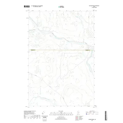
2018 Map of Eastman Brook
USGS Topo · Published 2018About this map
The Northwest Branch Saint John River and Southwest Branch Saint John River converge within this remote borderland territory, where the north-flowing Saint John River forms a primary natural corridor. The landscape is defined by the hydrologic network of the Daaquam River and Oak Brook, with the boundary between Aroostook and Somerset counties cutting directly across the center of the sheet. Industrial and transit access is restricted to a network of private timber and access routes, including Realty Rd, St Juste Rd, and Depot Rd. These roads suggest the area's continued role in the regional forestry economy, providing the only overland links through the densely drainage-fed terrain of the North Maine Woods during the late 2010s.
Find a feature on this map
9 named features on this map. Tap any name to fly to it.
Don’t see what you’re looking for? This feature index may not catch every label — zoom into the map to look around manually.
Map Details
Editions of this 2018 Eastman Brook Map
This is the sole edition of this map. No revisions or reprints were ever made.
Other maps of this area

1954 · Baker Lake
USGS Topo · 1:62,500

1954 · Presque Isle
USGS Topo · 1:250,000

1955 · Beaver Pond
USGS Topo · 1:62,500

1957 · Hardwood Mountain
USGS Topo · 1:62,500

1958 · Presque Isle
USGS Topo · 1:250,000

1960 · Presque Isle
USGS Topo · 1:250,000

1962 · Baker Lake
USGS Topo · 1:62,500

1962 · Quebec
USGS Topo · 1:250,000
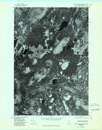
1977 · Burntland Pond
USGS Topo · 1:24,000
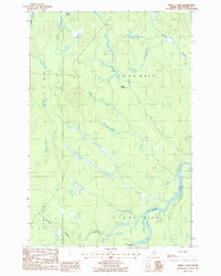
1986 · Mary L Pond
USGS Topo · 1:24,000