
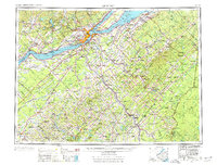
1962 Map of Quebec
USGS Topo · Published 1966About this map
Quebec and its surrounding river-bound suburbs dominate the northern reaches of this survey, where the St Lawrence River narrows between the city and Levis. This mid-century view captures the heavy industrial and transport infrastructure of the region, anchored by the Quebec Central Railway and Canadian National Railways corridors that connect the capital to the mining and agricultural centers to the south. The landscape is defined by its major watercourses, including the north-flowing Riviere Chaudiere and the Riviere Etchemin, which historically dictated the pattern of early French seigneurial settlement long before the development of the Trans-Canada Highway.
Find a feature on this map
160 named features on this map. Tap any name to fly to it.
Don’t see what you’re looking for? This feature index may not catch every label — zoom into the map to look around manually.
Map Details
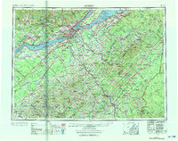
Editions of this 1962 Quebec Map
3 editions found
Other maps of this area

1927 · Sandy Bay
USGS Topo · 1:48,000

1930 · Sandy Bay
USGS Topo · 1:62,500

1944 · Sandy Bay
USGS Topo · 1:62,500

1949 · Jackman
USGS Topo · 1:250,000

1954 · Seboomook Lake
USGS Topo · 1:62,500

1954 · Baker Lake
USGS Topo · 1:62,500

1954 · St. John Pond
USGS Topo · 1:62,500

1954 · Presque Isle
USGS Topo · 1:250,000

1954 · Millinocket
USGS Topo · 1:250,000

1955 · Depot Lake
USGS Topo · 1:62,500