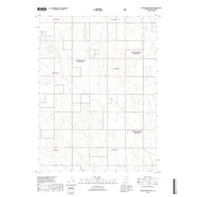
2019 Map of Eastman Creek South
USGS Topo · Published 2019About this map
Pawnee National Grassland dominates this portion of Weld County, defining a landscape shaped by intermittent watercourses and a strict section-line road grid. The drainage network is characterized by the southward flow of Eastman Cr and Owl Creek, which carve subtle relief into the high plains terrain. These ephemeral streams, along with Coal Cr and Robinson Cr, create a dendritic pattern that historically dictated the movement of livestock and the placement of early ranching infrastructure.
Find a feature on this map
22 named features on this map. Tap any name to fly to it.
Don’t see what you’re looking for? This feature index may not catch every label — zoom into the map to look around manually.
Map Details
Editions of this 2019 Eastman Creek South Map
This is the sole edition of this map. No revisions or reprints were ever made.
Other maps of this area
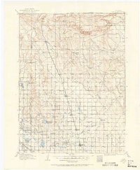
1908 · Eaton
USGS Topo · 1:125,000
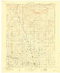
1910 · Eaton
USGS Topo · 1:125,000
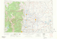
1954 · Greeley
USGS Topo · 1:250,000
1957 · Greeley
USGS Topo · 1:250,000
1958 · Greeley
USGS Topo · 1:250,000
1960 · Purcell
USGS Topo · 1:24,000
1960 · Nunn
USGS Topo · 1:24,000
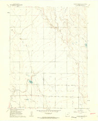
1960 · Antelope Reservoir
USGS Topo · 1:24,000
1961 · Greeley
USGS Topo · 1:250,000
1964 · Greeley
USGS Topo · 1:250,000