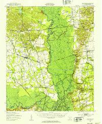
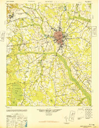
1943 Map of Eastover
USGS Topo · Published 1953About this map
The confluence of the Congaree River and the Wateree River dominates this mid-century survey, revealing a landscape defined by expansive floodplains and intricate river systems. The town of Eastover sits as a primary rail hub, where the Atlantic Coast Line and Southern railroads intersect. To the east, the rising terrain toward Wedgefield and the Poinsett State Forest provides a sharp contrast to the marshy lowlands of Gum Swamp and Joes Island. This era shows the local infrastructure of rural South Carolina, marked by numerous country churches such as Holy Cross Ch and St James Ch, alongside small schoolhouses like Hiawatha Sch. Transportation history is evident in the transition from river-based travel to modern infrastructure, seen in the Old Garners Ferry Road (Abandoned) and the presence of the Stateburg RR Sta.
Find a feature on this map
77 named features on this map. Tap any name to fly to it.
Don’t see what you’re looking for? This feature index may not catch every label — zoom into the map to look around manually.
Map Details
Editions of this 1943 Eastover Map
This is the sole edition of this map. No revisions or reprints were ever made.
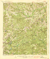
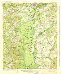
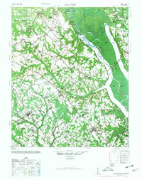
Other maps of this area

1935 · Killian
USGS Topo · 1:48,000
1937 · Killian
USGS Topo · 1:62,500
1938 · Hagood
USGS Topo · 1:62,500

1941 · Spartanburg
USGS Topo · 1:250,000

1942 · Camden
USGS Topo · 1:125,000
1946 · Elloree
USGS Topo · 1:62,500
1946 · Sumter
USGS Topo · 1:62,500
1946 · St. Matthews
USGS Topo · 1:62,500

1948 · Hopkins
USGS Topo · 1:62,500

1953 · Messers Pond
USGS Topo · 1:24,000