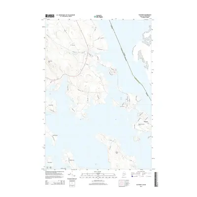
2014 Map of Eastport
USGS Topo · Published 2014About this map
Eastport anchors this coastal survey where the Washington Co shoreline meets the international boundary with Canada. The landscape is defined by its deep maritime indentations and peninsulas, including the prominent Seward Neck and Leighton Neck. This terrain supported a network of early coastal roads such as Us-1 and the Cobscook Hwy, which connect the scattered homesteads and landings typical of the Downeast region.
Find a feature on this map
59 named features on this map. Tap any name to fly to it.
Don’t see what you’re looking for? This feature index may not catch every label — zoom into the map to look around manually.
Map Details
Editions of this 2014 Eastport Map
This is the sole edition of this map. No revisions or reprints were ever made.
Other maps of this area

1907 · Eastport
USGS Topo · 1:48,000

1908 · Eastport
USGS Topo · 1:62,500

1929 · Robbinston
USGS Topo · 1:48,000

1931 · Robbinston
USGS Topo · 1:62,500

1943 · Eastport
USGS Topo · 1:62,500

1945 · Eastport
USGS Topo · 1:62,500

1949 · Robbinston
USGS Topo · 1:24,000

1949 · Whiting
USGS Topo · 1:24,000

1949 · Pembroke
USGS Topo · 1:24,000

1949 · Red Beach
USGS Topo · 1:24,000