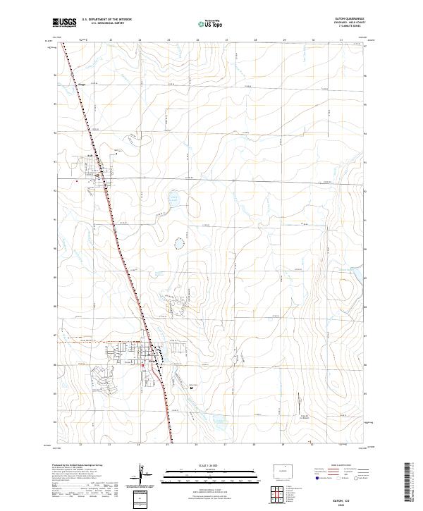
2022 Map of Eaton
USGS Topo · Published 2022About this map
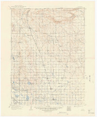
Agricultural development and water management define this portion of Weld County, centered on the towns of Ault and Eaton. The landscape is characterized by an extensive network of irrigation infrastructure designed to support farming in the high plains, including the Larimer County Canal, the Eaton Ditch, and the Mead Lateral. These man-made watercourses crisscross the terrain alongside natural features like Lone Tree Creek and Spring Creek, illustrating the long-standing efforts to harness the region's hydrology for settlement.
Find a feature on this map
83 named features on this map. Tap any name to fly to it.
Don’t see what you’re looking for? This feature index may not catch every label — zoom into the map to look around manually.
Map Details
Editions of this 2022 Eaton Map
This is the sole edition of this map. No revisions or reprints were ever made.
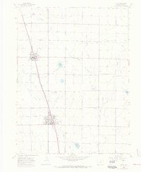
Historical Maps of Ault Through Time
5 maps found