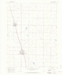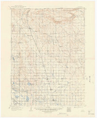
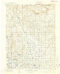
1910 Map of Eaton
USGS Topo · Published 1949About this map
Union Pacific tracks and the Denver and Northern Line define the early 20th-century landscape of this Weld County agricultural corridor. The map documents a period of rapid irrigation development, as evidenced by an extensive network of ditches and reservoirs like Black Hollow Reservoir, Timnath Reservoir, and Owl Creek Reservoir feeding the fertile plains. Small service centers such as Nunn, Ault, and Pierce line the rail corridor, while the rural interior is dotted with country schools including the Abbot School and Olive Branch School. North of the farming district, the terrain rises toward the Chalk Bluffs and Simpson Mesa near the Colorado — Wyoming Boundary Line, where the Indian Springs Coal Mine marks early industrial activity. The presence of numerous named ranches, such as Meadow Spring Ranch and Slayton Ranch, illustrates the transition from open range to a more structured agrarian economy.
Find a feature on this map
57 named features on this map. Tap any name to fly to it.
Don’t see what you’re looking for? This feature index may not catch every label — zoom into the map to look around manually.
Map Details
Editions of this 1910 Eaton Map
3 editions found

Historical Maps of Fort Collins Through Time
9 maps found