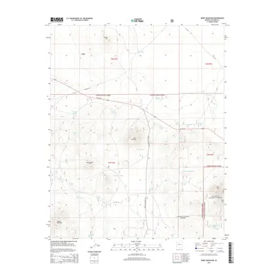
2014 Map of Ebert Mountain
USGS Topo · Published 2014About this map
Valle serves as a small junction point in this high-desert landscape, situated where US Hwy 180 cuts across the northern reaches of the Kaibab National Forest. The terrain is defined by prominent volcanic features and volcanic landforms including Ebert Mountain, Butcherknife Hill, and the twin peaks of Double Top. This 2014 survey reveals an extensive network of water management features essential for wildlife and livestock in this arid environment, such as the Dog Knobs Trick Tank and the Arizona Game and Fish Trick Tank. To the south, the forest transitions into the Coconino National Forest, marked by the elevations of Red Mtn and the Hobble Mountains. Local history and ranching lineage are reflected in the numerous named tanks and washes, including Miller Wash and Butcherknife Tank, which illustrate the long-standing efforts to capture seasonal runoff across these high plains.
Find a feature on this map
44 named features on this map. Tap any name to fly to it.
Don’t see what you’re looking for? This feature index may not catch every label — zoom into the map to look around manually.
Map Details
Editions of this 2014 Ebert Mountain Map
This is the sole edition of this map. No revisions or reprints were ever made.
Other maps of this area
1886 · San Francisco Mtns
USGS Topo · 1:250,000
1886 · Chino
USGS Topo · 1:250,000
1891 · San Francisco Mtns
USGS Topo · 1:250,000
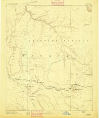
1891 · Chino
USGS Topo · 1:250,000
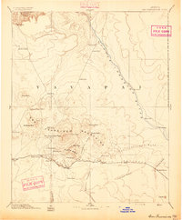
1894 · San Francisco Mtns
USGS Topo · 1:250,000
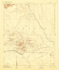
1899 · San Francisco Mtns
USGS Topo · 1:250,000
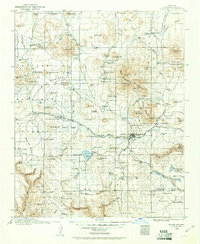
1908 · Flagstaff
USGS Topo · 1:125,000
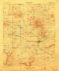
1912 · Flagstaff
USGS Topo · 1:125,000
1922 · Williams
USGS Topo · 1:125,000

1947 · Flagstaff
USGS Topo · 1:250,000