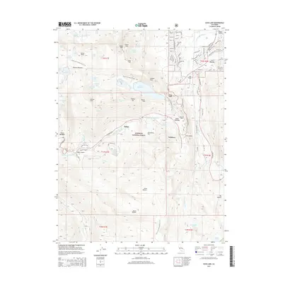
2015 Map of Echo Lake
USGS Topo · Published 2015About this map
Meyers serves as a primary settlement node at the base of the Carson Range, where residential street names like Seneca Dr and Pioneer Trl define the local community. The landscape is dominated by the high-altitude topography of the Eldorado National Forest, anchored by the critical transit points of Echo Summit and Johnson Pass. This area marks a significant hydrologic and recreational divide, where the Pacific Crest National Scenic Trail winds past a concentration of alpine water bodies including Upper Echo Lake, Lower Echo Lake, and the remote Lake of the Woods.
Find a feature on this map
114 named features on this map. Tap any name to fly to it.
Don’t see what you’re looking for? This feature index may not catch every label — zoom into the map to look around manually.
Map Details
Editions of this 2015 Echo Lake Map
This is the sole edition of this map. No revisions or reprints were ever made.
Other maps of this area

1889 · Pyramid Peak
USGS Topo · 1:125,000

1889 · Markleeville
USGS Topo · 1:125,000

1891 · Markleeville
USGS Topo · 1:125,000

1891 · Pyramid Peak
USGS Topo · 1:125,000

1893 · Markleeville
USGS Topo · 1:125,000

1895 · Pyramid Peak
USGS Topo · 1:125,000

1896 · Pyramid Peak
USGS Topo · 1:125,000

1947 · Sacramento
USGS Topo · 1:250,000

1948 · Walker Lake
USGS Topo · 1:250,000

1948 · Sacramento
USGS Topo · 1:250,000