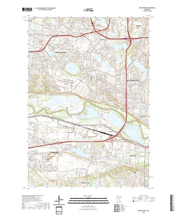
2022 Map of Eden Prairie
USGS Topo · Published 2022About this map
The Minnesota River bottomlands dominate the southern half of this map, creating a complex network of wetlands and backwaters including Blue Lake, Fisher Lake, and Grass Lake. These lowlands serve as a natural boundary between Eden Prairie and Shakopee, where the Minnesota River Trail and Minnesota Valley State Trail trace the corridor. The higher ground to the north and south reveals a densely developed suburban landscape, punctuated by older landmarks like Eden Prairie Cem and Hill Cem. High-traffic infrastructure like Flying Cloud Airport and the commercial hubs of Bloomington contrast with preserved natural features like Boiling Springs and the winding course of Purgatory Creek. This area illustrates the transition from river-centered industry, evidenced by the Bloomington Ferry site and the Barden rail stop, to modern residential and educational centers such as the Hennepin Technical College - Eden Prairie Campus.
Find a feature on this map
136 named features on this map. Tap any name to fly to it.
Don’t see what you’re looking for? This feature index may not catch every label — zoom into the map to look around manually.
Map Details
Editions of this 2022 Eden Prairie Map
This is the sole edition of this map. No revisions or reprints were ever made.
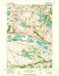
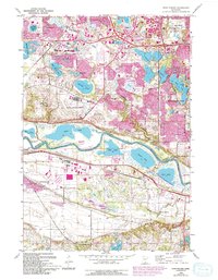
Historical Maps of Prior Lake Through Time
3 maps found