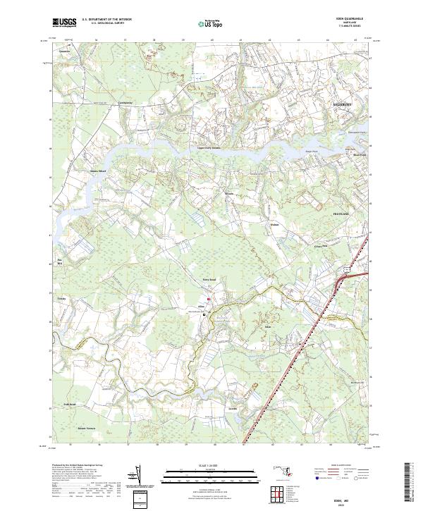
2023 Map of Eden
USGS Topo · Published 2023About this map
Allen and Eden serve as the central hubs of this Delmarva landscape, where the Wicomico River and its numerous tributaries like Harcum Creek and Cutmaptico Creek define the geography. The map reveals a transition from the suburban edges of Salisbury and Fruitland in the north to the more agrarian and marshy reaches near Mount Vernon and Trinity to the south. Historically significant landmarks are scattered throughout the region, including the Allen Methodist Cem and various family-named landing sites such as Simms Wharf and Shad Point. The winding course of the Wicomico Creek marks the boundary between Wicomico and Somerset counties, illustrating the importance of these waterways in defining local jurisdictions and early transportation routes. Inland, smaller communities like Loretto and Catchpenny sit along a network of roads that connect the timbered lowlands and marshy basins of Bell Marsh.
Find a feature on this map
152 named features on this map. Tap any name to fly to it.
Don’t see what you’re looking for? This feature index may not catch every label — zoom into the map to look around manually.
Map Details
Editions of this 2023 Eden Map
This is the sole edition of this map. No revisions or reprints were ever made.
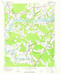
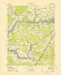
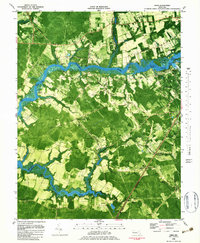
Historical Maps of Tall Timbers Park Through Time
4 maps found