Loading...
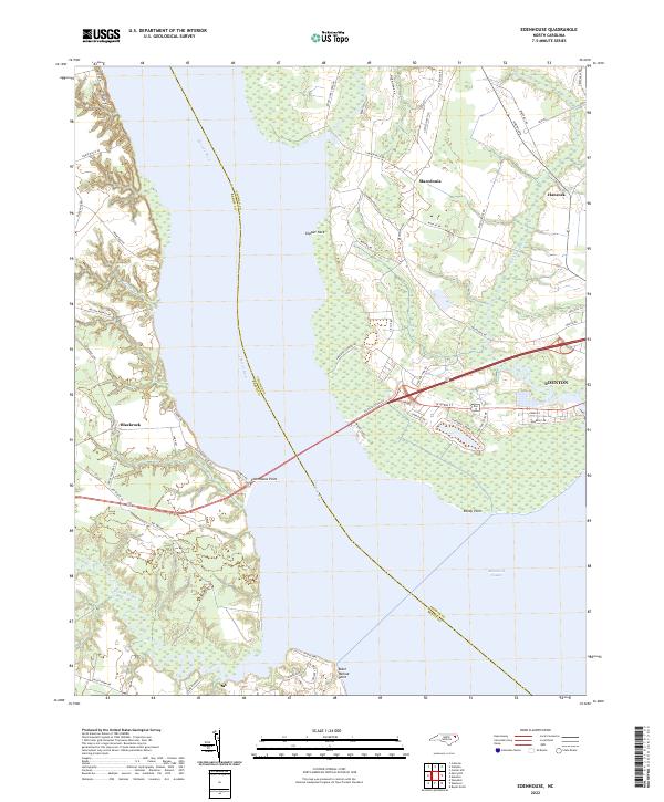
Loading map...2022 Map of Edenhouse
USGS Topo · Published 2022About this map
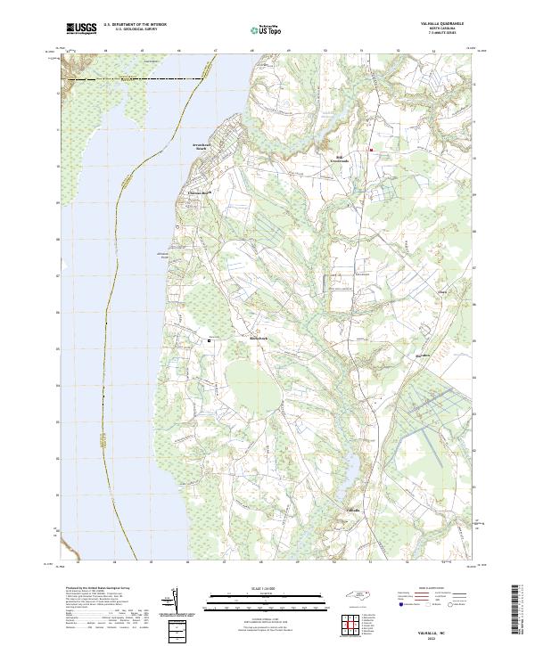
The Chowan River serves as the central geographic divide in this coastal survey, separating Chowan Co from Bertie Co as it empties into the Albemarle Sound. The eastern shore is anchored by the historic settlement of Edenton, where the residential and commercial grid reaches the water's edge at Reedy Point. Inland, the landscape transitions into a mix of agricultural plots and low-lying wetlands, particularly around Pollock Swamp and the small community of Macedonia.
Find a feature on this map
58 named features on this map. Tap any name to fly to it.
Don’t see what you’re looking for? This feature index may not catch every label — zoom into the map to look around manually.
Map Details
Date Portrayed2022
Date Published2022
PublisherU.S. Geological Survey
Map TypeTopographic
Scale1:24000
Physical Dimensions24 x 29 inches
Editions of this 2022 Edenhouse Map
This is the sole edition of this map. No revisions or reprints were ever made.
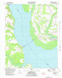
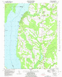
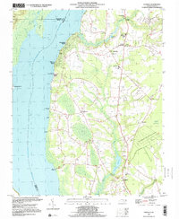
Historical Maps of Mount Gould Landing Through Time
5 maps found
Featured Locations
Source Details
SourceU.S. Geological Survey
CopyrightPublic Domain