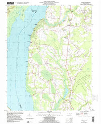
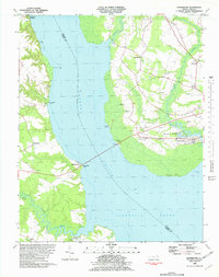
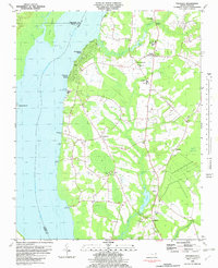
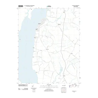
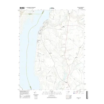
1997 Map of Valhalla
USGS Topo · Published 2000About this map
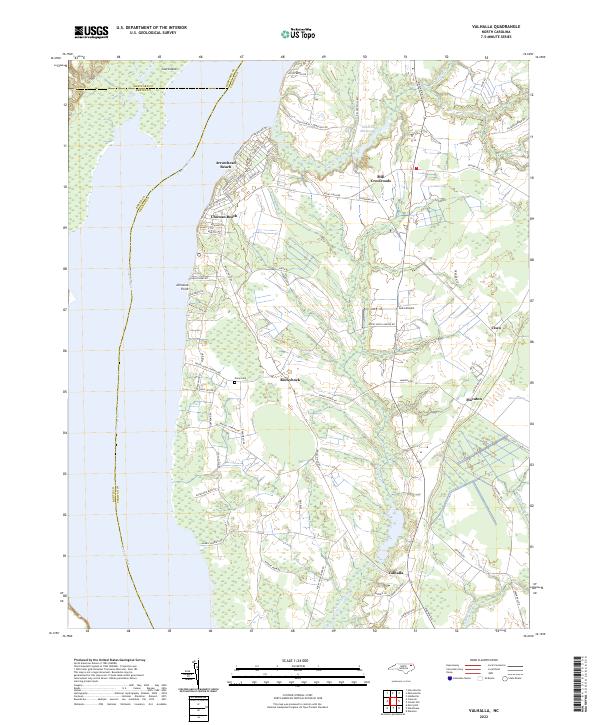
Arrowhead Beach and Chowan Beach line the eastern shore of the Chowan River in this late 20th-century depiction of the North Carolina Coastal Plain. Moving inland from the river landings like Rockyhock Landing and Bass Landing, the landscape is defined by the wetlands of Bear Swamp and Pollock Swamp. Small communities and crossroads serve as the primary anchors for the region, including Rockyhock, Smalls Crossroads, and the quadrangle's namesake, Valhalla.
Find a feature on this map
41 named features on this map. Tap any name to fly to it.
Don’t see what you’re looking for? This feature index may not catch every label — zoom into the map to look around manually.
Map Details
Editions of this 1997 Valhalla Map
This is the sole edition of this map. No revisions or reprints were ever made.
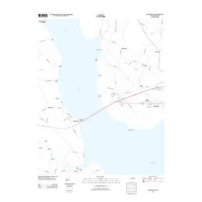
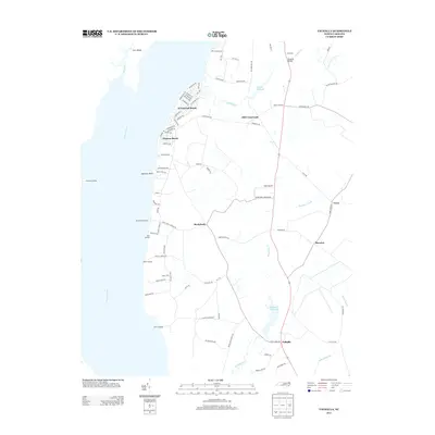
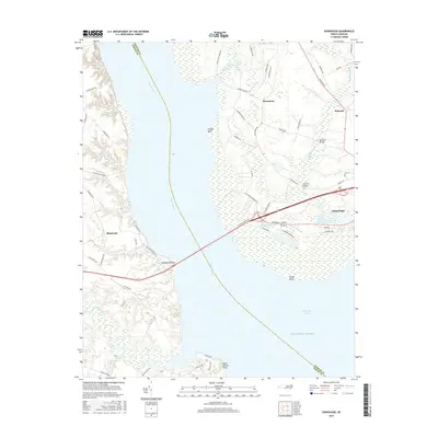
Historical Maps of Arrowhead Beach Through Time
13 maps found
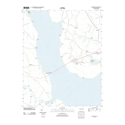
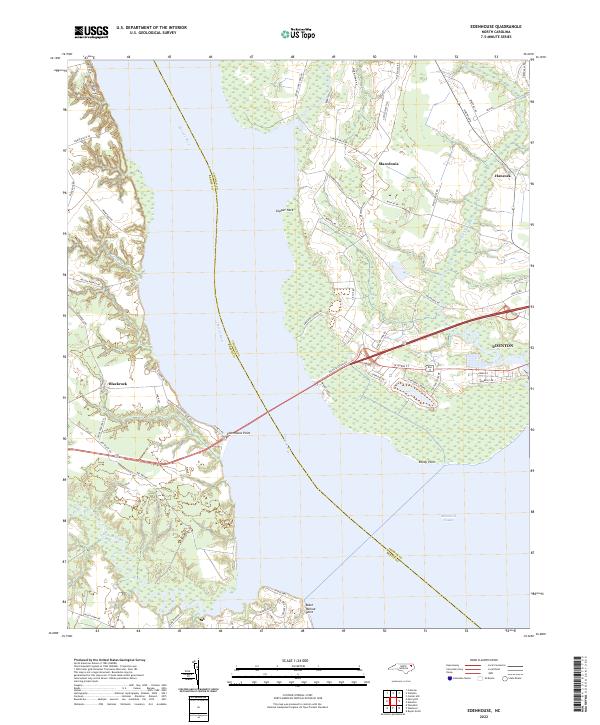
1982 Edenhouse
Chowan County, NC
1982 Valhalla
Chowan County, NC
1997 Valhalla
Chowan County, NC
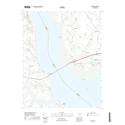
2010 Edenhouse
Chowan County, NC
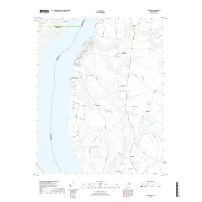
2010 Valhalla
Chowan County, NC
2013 Edenhouse
Chowan County, NC
2013 Valhalla
Chowan County, NC
2016 Edenhouse
Chowan County, NC
2016 Valhalla
Chowan County, NC
2019 Edenhouse
Chowan County, NC
2019 Valhalla
Chowan County, NC
2022 Edenhouse
Chowan County, NC
2022 Valhalla
Chowan County, NC