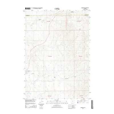
2015 Map of Edgerton
USGS Topo · Published 2015About this map
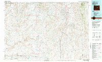
The town of Edgerton sits at a crossroads in Natrona County, where W Center St and E Salt Creek Rd meet amidst a landscape defined by an intricate drainage system. The terrain is marked by numerous draws such as Joe Begant Draw, Dead Dog Draw, and Ford Draw, reflecting the arid, dissected topography of this Wyoming region. Water management is central to the area's geography, evidenced by the Western States Number 1 Reservoir and Meadow Cr Reservoir. These features, along with several named creeks like Salt Cr and N Cottonwood Cr, illustrate how water is channeled and stored in a high-plains environment. The map captures the intersection of rural infrastructure and natural hydrology at the boundary of Johnson and Natrona counties, providing a clear picture of the land divisions across several townships and ranges.
Find a feature on this map
23 named features on this map. Tap any name to fly to it.
Don’t see what you’re looking for? This feature index may not catch every label — zoom into the map to look around manually.
Map Details
Editions of this 2015 Edgerton Map
This is the sole edition of this map. No revisions or reprints were ever made.
Other maps of this area
1954 · Linch
USGS Topo · 1:24,000
1954 · Taylor Ranch
USGS Topo · 1:24,000

1955 · Arminto
USGS Topo · 1:250,000

1958 · Arminto
USGS Topo · 1:250,000
1959 · Edgerton
USGS Topo · 1:62,500
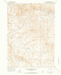
1961 · Dead Woman Crossing
USGS Topo · 1:24,000
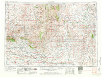
1962 · Arminto
USGS Topo · 1:250,000
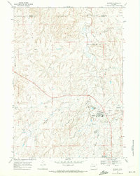
1968 · Midwest
USGS Topo · 1:24,000
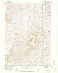
1968 · Salt Creek
USGS Topo · 1:24,000
1981 · Midwest
USGS Topo · 1:100,000