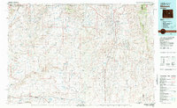
1968 Map of Midwest
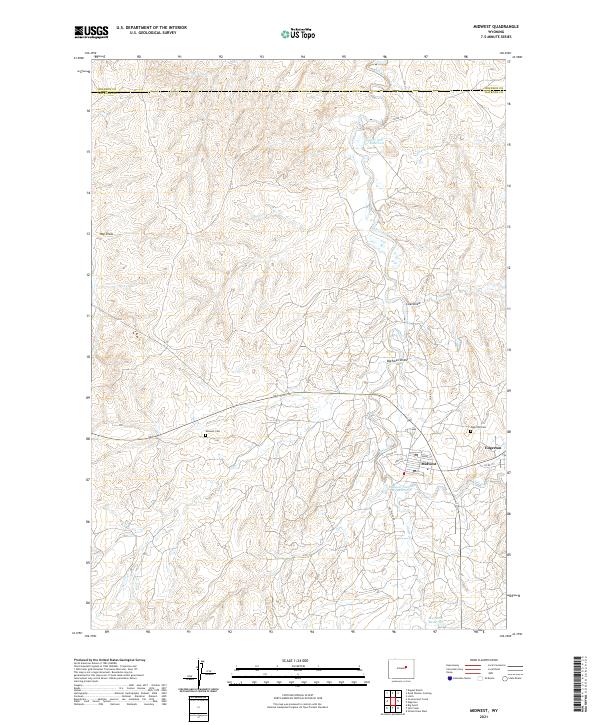
USGS Topo · Published 1972About this map
Midwest and Edgerton anchor this survey of the high plains north of Casper, revealing a landscape deeply defined by the energy industry of the late 1960s. The region is dominated by the Shannon Pool Oil Field, with the complex infrastructure of a Gas Plant and Gas Plant Camp visible near the banks of Salt Creek. This area shows a developed community footprint, including the Midwest Cem, an Athletic Field, and a Golf Course situated just west of the Rodeo Ground. To the north, the terrain transitions into the draws and plateaus of the Johnson and Natrona County line, where the Old Railroad Grade and Power Plant Road trace earlier transport and utility corridors through the arid landscape of Hay Draw and Coal Draw.
Find a feature on this map
29 named features on this map. Tap any name to fly to it.
Don’t see what you’re looking for? This feature index may not catch every label — zoom into the map to look around manually.
Map Details
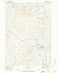
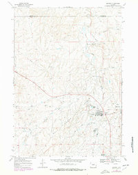
Editions of this 1968 Midwest Map
2 editions found
Historical Maps of Midwest Through Time
3 maps found