
1968 Map of Big Gulch
USGS Topo · Published 1972About this map
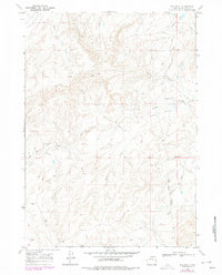
Big Gulch defines the drainage patterns of this central Wyoming landscape, where the seasonal waters of Alkali Creek and Bothwell Draw carve through high desert plateaus. The map details a transition from the rugged topography surrounding the North Fork Dead Horse Creek in the northwest to the more open drainage of Castle Creek in the south. The human footprint in this part of Natrona County is sparse but significant, marked by the long-standing Shepperson Ranch and several scattered Drill Holes indicative of mineral or water exploration.
Find a feature on this map
16 named features on this map. Tap any name to fly to it.
Don’t see what you’re looking for? This feature index may not catch every label — zoom into the map to look around manually.
Map Details
Editions of this 1968 Big Gulch Map
2 editions found
Other maps of this area

1955 · Arminto
USGS Topo · 1:250,000

1958 · Arminto
USGS Topo · 1:250,000

1962 · Arminto
USGS Topo · 1:250,000

1968 · Merino
USGS Topo · 1:24,000

1968 · Midwest
USGS Topo · 1:24,000

1968 · Salt Creek
USGS Topo · 1:24,000
1968 · Statzer Point
USGS Topo · 1:24,000
1968 · Teapot Rock
USGS Topo · 1:24,000

1968 · Camel Hump Reservoir
USGS Topo · 1:24,000

1968 · Salt Canyon
USGS Topo · 1:24,000