
1968 Map of Camel Hump Reservoir
USGS Topo · Published 1972About this map
Camel Hump and its eponymous Camel Hump Reservoir anchor this 1968 landscape in Natrona County, defined by a network of ephemeral watercourses and resource extraction sites. The high plains terrain is carved by the Fitzpatrick Draw, Meadow Gulch, and Dead Horse Draw, which lead toward the more prominent Dead Horse Creek. Human presence is marked by industrial activity, with several labels for Well and Drill Hole locations scattered across the townships. A significant piece of local transportation history is preserved in the trace of an Old Railroad Grade that cuts through the southern portion of the quadrangle near Castle Creek. This path, alongside the Wild Horse Road, suggests the historical movement of livestock and materials through this arid section of Wyoming before later modernizations.
Find a feature on this map
14 named features on this map. Tap any name to fly to it.
Don’t see what you’re looking for? This feature index may not catch every label — zoom into the map to look around manually.
Map Details
Editions of this 1968 Camel Hump Reservoir Map
This is the sole edition of this map. No revisions or reprints were ever made.
Other maps of this area

1955 · Arminto
USGS Topo · 1:250,000

1958 · Arminto
USGS Topo · 1:250,000

1962 · Arminto
USGS Topo · 1:250,000

1968 · Big Gulch
USGS Topo · 1:24,000

1968 · Merino
USGS Topo · 1:24,000
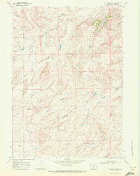
1968 · Statzer Point
USGS Topo · 1:24,000

1968 · Reynolds Reservoir
USGS Topo · 1:24,000

1968 · Fiftymile Flat
USGS Topo · 1:24,000

1968 · Salt Canyon
USGS Topo · 1:24,000
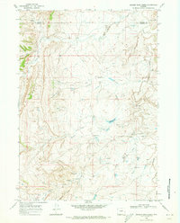
1968 · Broken Horn Creek
USGS Topo · 1:24,000