
1968 Map of Reynolds Reservoir
USGS Topo · Published 1972About this map
Reynolds Reservoir and the Reynolds Ditch system form the hydraulic heart of this Natrona County landscape in the late 1960s. The map captures an era of resource management and rural infrastructure, centered on the North Fork Casper Creek drainage. Settled landmarks like the Beek Place and localized infrastructure such as the Flowing Well and an Oil Well highlight the intersection of ranching and energy extraction.
Find a feature on this map
16 named features on this map. Tap any name to fly to it.
Don’t see what you’re looking for? This feature index may not catch every label — zoom into the map to look around manually.
Map Details
Editions of this 1968 Reynolds Reservoir Map
This is the sole edition of this map. No revisions or reprints were ever made.
Other maps of this area

1955 · Arminto
USGS Topo · 1:250,000

1958 · Arminto
USGS Topo · 1:250,000

1962 · Arminto
USGS Topo · 1:250,000

1968 · Merino
USGS Topo · 1:24,000

1968 · Camel Hump Reservoir
USGS Topo · 1:24,000

1968 · Big Sulfur Draw
USGS Topo · 1:24,000

1968 · Fiftymile Flat
USGS Topo · 1:24,000
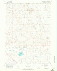
1968 · Burlington Lake
USGS Topo · 1:24,000
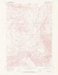
1968 · Anderson Draw
USGS Topo · 1:24,000
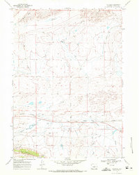
1968 · Natrona
USGS Topo · 1:24,000