
1968 Map of Merino
USGS Topo · Published 1972About this map
Merino and its surrounding high plains are defined by the intricate water management and transportation routes of central Wyoming. This late 1960s landscape shows a reliance on stock water and irrigation, evidenced by features like North Thirtythree Mile Reservoir and Sherrod Reservoir. The terrain is characterized by a series of drainages, including Austin Draw and Bayer Draw, which flow toward the larger Castle Creek. A notable artifact of earlier industry and transport is the Old Grade Railroad, which traces a path across the quadrangle alongside the contemporary Thirtythree Mile Road. Evidence of mineral exploration appears in the form of scattered Drill Hole and Oil Well sites, marking the intersection of traditional ranching geography with Wyoming's energy economy. The topography rises toward a prominent Divide in the south, influencing the direction of seasonal flows through Hemingway Draw and Statzer Draw.
Find a feature on this map
18 named features on this map. Tap any name to fly to it.
Don’t see what you’re looking for? This feature index may not catch every label — zoom into the map to look around manually.
Map Details
Editions of this 1968 Merino Map
This is the sole edition of this map. No revisions or reprints were ever made.
Other maps of this area

1955 · Arminto
USGS Topo · 1:250,000

1958 · Arminto
USGS Topo · 1:250,000

1962 · Arminto
USGS Topo · 1:250,000

1968 · Big Gulch
USGS Topo · 1:24,000

1968 · Illco
USGS Topo · 1:24,000
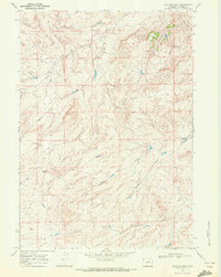
1968 · Statzer Point
USGS Topo · 1:24,000

1968 · Camel Hump Reservoir
USGS Topo · 1:24,000

1968 · Reynolds Reservoir
USGS Topo · 1:24,000

1968 · Fiftymile Flat
USGS Topo · 1:24,000
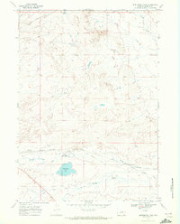
1968 · Burlington Lake
USGS Topo · 1:24,000