
1968 Map of Illco
USGS Topo · Published 1972About this map
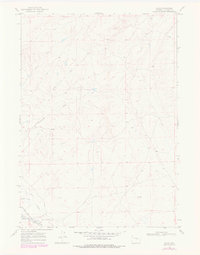
The Chicago and Northwestern railroad corridor anchors the southern edge of this landscape, passing through the small settlement of Illco. This late 1960s survey reveals a region defined by the intricate drainage systems of the Casper Creek watershed, including the North Fork and Middle Fork Casper Creek. The terrain is characterized by long, winding draws such as Smith Draw and the North Fork Twentymile Draw, which dictate the local topography and historical movement through this part of Natrona County. Transportation is focused along the Thirtythree Mile Road, which parallels the rail line. The presence of a Spring and named points like Piney suggests the importance of water sources and landmarks in this relatively sparse environment during the era of field checking in 1968.
Find a feature on this map
13 named features on this map. Tap any name to fly to it.
Don’t see what you’re looking for? This feature index may not catch every label — zoom into the map to look around manually.
Map Details
Editions of this 1968 Illco Map
2 editions found
Other maps of this area

1950 · Emigrant Gap NE
USGS Topo · 1:24,000

1951 · The Reefs
USGS Topo · 1:24,000

1952 · Bishop
USGS Topo · 1:24,000

1955 · Arminto
USGS Topo · 1:250,000

1955 · Casper
USGS Topo · 1:250,000

1958 · Casper
USGS Topo · 1:250,000

1958 · Arminto
USGS Topo · 1:250,000
1960 · Bishop
USGS Topo · 1:24,000
1960 · Emigrant Gap NE
USGS Topo · 1:24,000
1961 · The Reefs
USGS Topo · 1:24,000