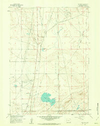
1961 Map of The Reefs
USGS Topo · Published 1962About this map
The rugged industrial landscape of central Wyoming is defined by the extensive energy and transportation infrastructure surrounding Soda Lake and Midway Oil Field during the early 1960s. This survey, revised from earlier photogrammetric methods, reveals a complex web of pipelines crisscrossing the high desert, connecting remote drilling sites and storage facilities. Aviation and local development are anchored by Wardwell Airport and the nearby residential pocket of Richardson Acres.
Find a feature on this map
15 named features on this map. Tap any name to fly to it.
Don’t see what you’re looking for? This feature index may not catch every label — zoom into the map to look around manually.
Map Details
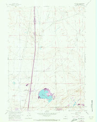
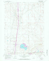
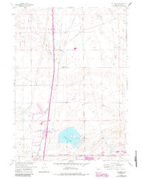
Editions of this 1961 The Reefs Map
4 editions found
Other maps of this area

1949 · Brookhurst
USGS Topo · 1:24,000

1949 · Pratts Soda Lakes
USGS Topo · 1:24,000

1950 · Brookhurst
USGS Topo · 1:24,000

1950 · Pratts Soda Lakes
USGS Topo · 1:24,000

1950 · Goose Egg
USGS Topo · 1:24,000

1951 · The Reefs
USGS Topo · 1:24,000

1951 · Casper
USGS Topo · 1:24,000

1952 · Bishop
USGS Topo · 1:24,000

1955 · Arminto
USGS Topo · 1:250,000

1955 · Casper
USGS Topo · 1:250,000