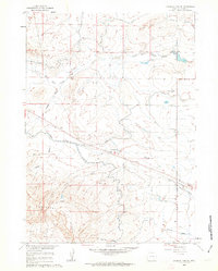
1960 Map of Emigrant Gap NE
USGS Topo · Published 1963About this map
Emigrant Gap Ridge dominates the southern portion of this landscape, serving as a prominent topographic divide in this part of Natrona County. Below the ridge, the land is defined by a complex network of water management, featuring the Casper Canal, Bishop Lateral, and Johnson Canal. These features indicate the critical role of irrigation in sustaining the livestock and ranching operations of the era, such as the Thirtythree Mile Ranch located near the intersection of Thirtythree Mile Road and Telephone Road.
Find a feature on this map
19 named features on this map. Tap any name to fly to it.
Don’t see what you’re looking for? This feature index may not catch every label — zoom into the map to look around manually.
Map Details
Editions of this 1960 Emigrant Gap NE Map
2 editions found
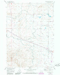
Other maps of this area

1950 · Emigrant Gap
USGS Topo · 1:24,000

1950 · Goose Egg
USGS Topo · 1:24,000

1950 · Emigrant Gap NE
USGS Topo · 1:24,000

1951 · Oil Mountain
USGS Topo · 1:24,000

1951 · Emigrant Gap NW
USGS Topo · 1:24,000

1952 · Bishop
USGS Topo · 1:24,000

1955 · Arminto
USGS Topo · 1:250,000

1955 · Casper
USGS Topo · 1:250,000

1958 · Casper
USGS Topo · 1:250,000

1958 · Arminto
USGS Topo · 1:250,000