
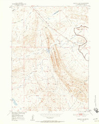
1951 Map of Emigrant Gap NW
USGS Topo · Published 1952About this map
Emigrant Gap Ridge dominates the center of this Wyoming landscape, acting as a prominent geological spine that directs the local drainage patterns. This 1951 field-checked survey reveals an intricate network of water management infrastructure essential to the high plains, including the Casper Canal, several levees, and multiple sections of Ditch (Aban'd). The presence of Hot Springs in the southeast and the Box C Reservoir to the north suggests a land defined by its relationship to water sources, both natural and engineered. Local history is etched into the terrain through family-named features like Jack Allen Draw, Clarks Gulch, and Tudor Draw. Several Windmill locations are mapped across the range, marking the points of human activity in this sparsely populated stretch of Natrona County, while a Pipe Line cuts diagonally across the northern sections.
Find a feature on this map
24 named features on this map. Tap any name to fly to it.
Don’t see what you’re looking for? This feature index may not catch every label — zoom into the map to look around manually.
Map Details
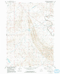
Editions of this 1951 Emigrant Gap NW Map
3 editions found
Other maps of this area

1950 · Emigrant Gap
USGS Topo · 1:24,000

1950 · Emigrant Gap NE
USGS Topo · 1:24,000

1951 · Oil Mountain
USGS Topo · 1:24,000

1951 · Poison Spider
USGS Topo · 1:24,000

1951 · Reid Canyon
USGS Topo · 1:24,000

1955 · Arminto
USGS Topo · 1:250,000

1955 · Casper
USGS Topo · 1:250,000

1958 · Casper
USGS Topo · 1:250,000

1958 · Arminto
USGS Topo · 1:250,000
1960 · Emigrant Gap
USGS Topo · 1:24,000