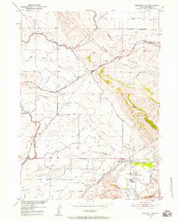
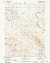
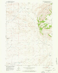
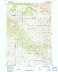
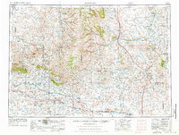
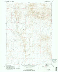
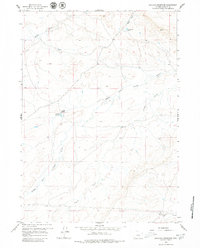
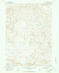
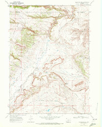
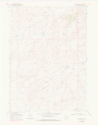
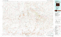
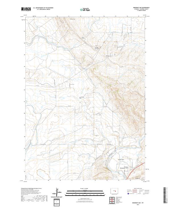
1960 Map of Emigrant Gap
USGS Topo · Published 1963About this map
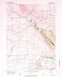
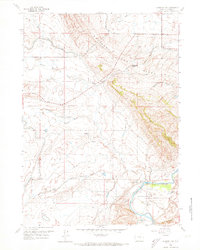
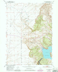
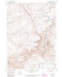
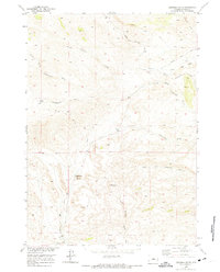
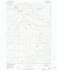
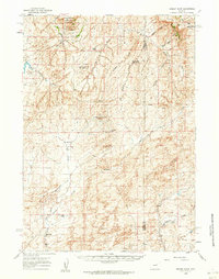
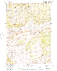
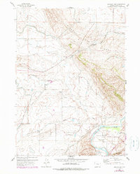
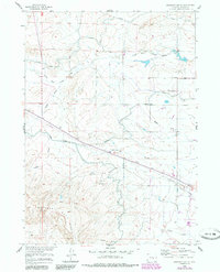
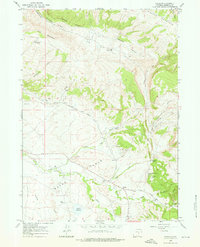
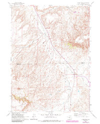
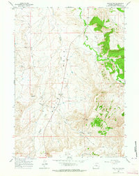
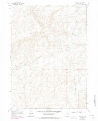
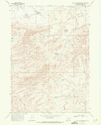
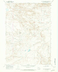
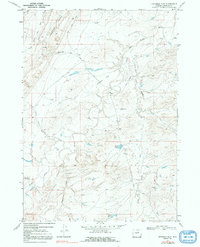
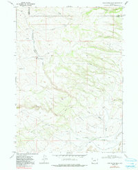
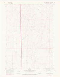
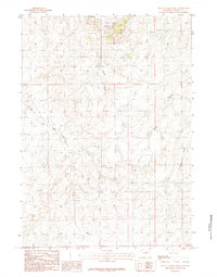
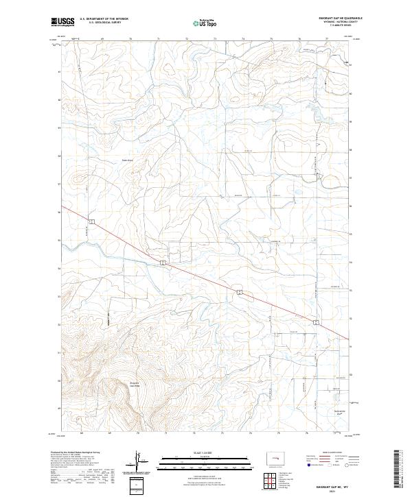
Emigrant Trail and Oregon Trail corridors dominate this 1960 landscape, tracing the historic overland routes through the high country of Natrona County. The map details a rugged transition from the high point of Emigrant Gap Ridge down to the fertile curves of the North Platte River. Along the river, Bessemer Bend serves as a focal point for settlement and early agriculture, evidenced by the presence of Bessemer Sch and a local Fish Hatchery. Of particular interest to local historians are the Old Goose Egg Ranchhouse (Ruins) and a nearby Historical Marker, which anchor the map's eastern edge. Further inland, the importance of water management in this arid environment is highlighted by the Casper Canal and the Poison Spider School, which served the scattered ranching community along Poison Spider Creek.
Find a feature on this map
31 named features on this map. Tap any name to fly to it.
Don’t see what you’re looking for? This feature index may not catch every label — zoom into the map to look around manually.
Map Details
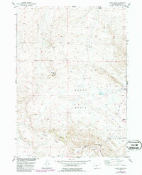
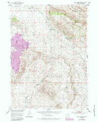
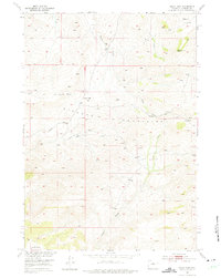
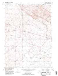
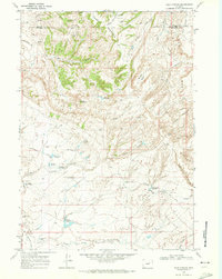
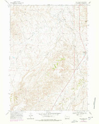
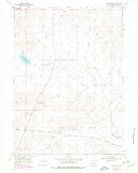
Editions of this 1960 Emigrant Gap Map
3 editions found
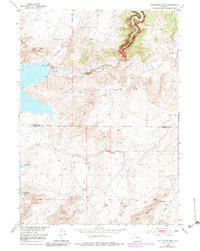
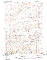
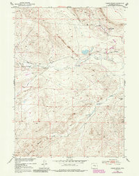
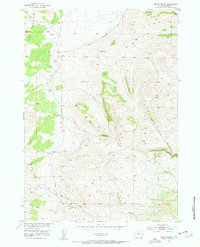
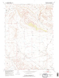
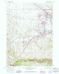
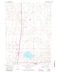
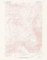
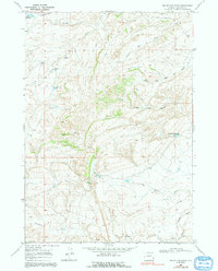
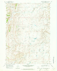
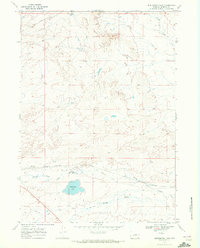
Historical Maps of Bessemer Bend Through Time
190 maps found
1949 Pratts Soda Lakes
Natrona County, WY
1950 Alcova SE
Natrona County, WY
1950 Emigrant Gap
Natrona County, WY
1950 Emigrant Gap NE
Natrona County, WY

1950 Goose Egg
Natrona County, WY

1950 Pratts Soda Lakes
Natrona County, WY
1951 Bear Mountain
Natrona County, WY
1951 Bear Spring
Natrona County, WY
1951 Benton Basin
Natrona County, WY
1951 Benton Basin NE
Natrona County, WY
1951 Benton Basin SW
Natrona County, WY
1951 Bessemer Mountain
Natrona County, WY
1951 Clarkson Hill
Natrona County, WY
1951 Emigrant Gap NW
Natrona County, WY
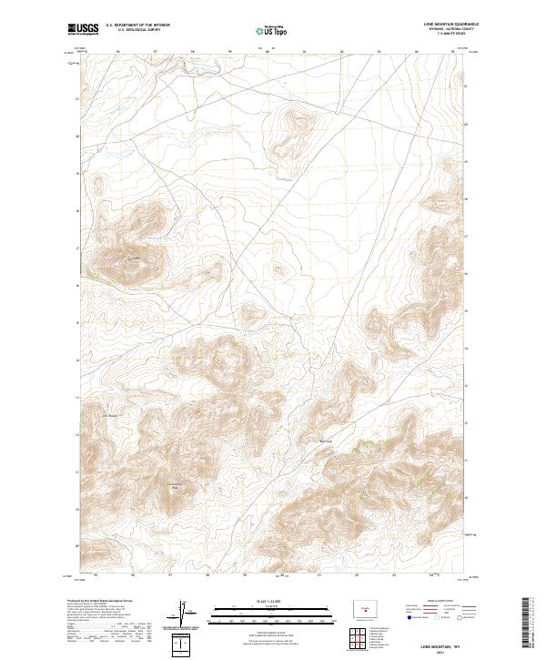
1951 Lone Mountain
Natrona County, WY
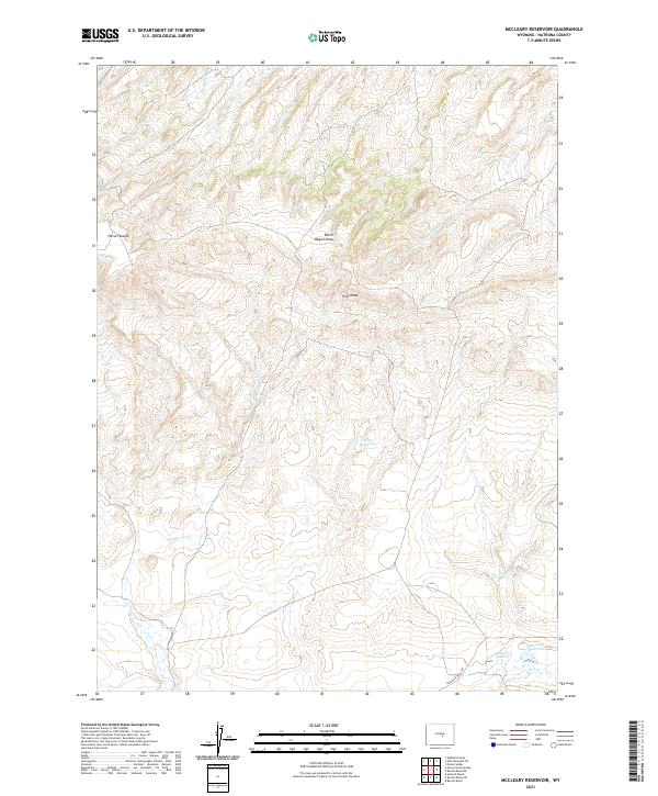
1951 Mc Cleary Reservoir
Natrona County, WY
1951 Oil Mountain
Natrona County, WY
1951 Pathfinder Dam
Natrona County, WY
1951 Pine Mountain SW
Natrona County, WY
1951 Poison Spider
Natrona County, WY

1951 Reid Canyon
Natrona County, WY
1951 Square Top Butte
Natrona County, WY

1951 The Reefs
Natrona County, WY
1952 Arminto
Natrona County, WY
1952 Arminto NW
Natrona County, WY
1952 Arminto SW
Natrona County, WY
1952 Badwater
Natrona County, WY
1952 Badwater NE
Natrona County, WY
1952 Badwater SE
Natrona County, WY
1952 Bishop
Natrona County, WY
1952 Deadman Butte
Natrona County, WY
1952 Ervay Basin
Natrona County, WY
1952 Ervay Basin SW
Natrona County, WY
1952 Grave Spring
Natrona County, WY
1952 Hiland
Natrona County, WY
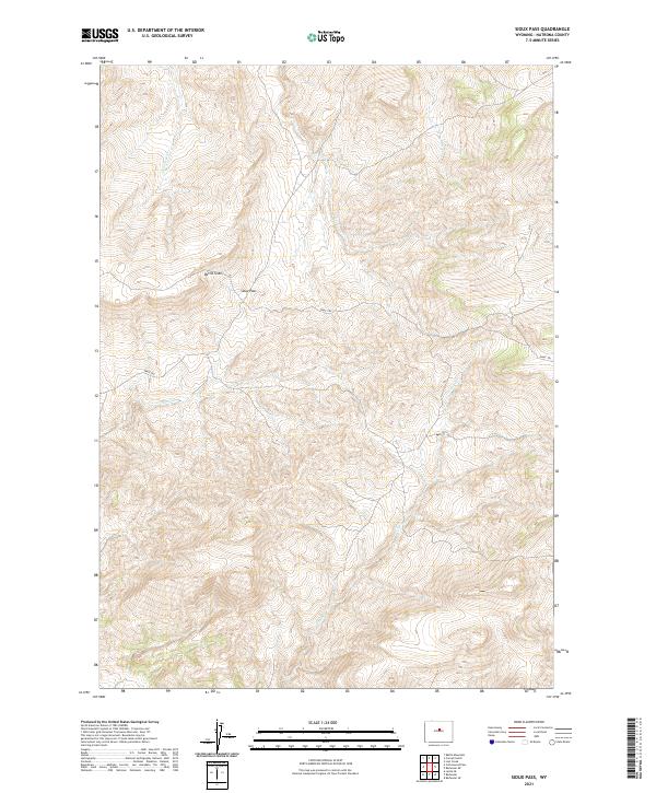
1952 Sioux Pass
Natrona County, WY
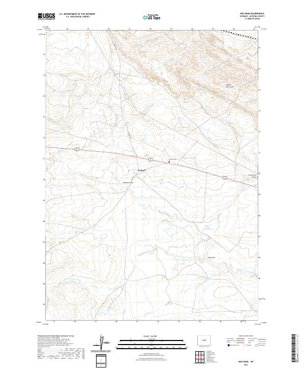
1952 Waltman
Natrona County, WY
1952 Waltman NW
Natrona County, WY
1955 Arminto
Natrona County, WY

1958 Arminto
Natrona County, WY
1959 Barlow Gap
Natrona County, WY
1959 Bates Creek Reservoir
Natrona County, WY
1959 Beulah Belle Lake
Natrona County, WY
1959 Blackjack Ranch
Natrona County, WY
1959 Broad Mesa
Natrona County, WY
1959 Eightmile Draw
Natrona County, WY
1959 Garfield Peak
Natrona County, WY
1959 Gaylord Reservoir
Natrona County, WY
1959 Horse Creek Springs
Natrona County, WY
1959 Mc Rae Gap
Natrona County, WY
1959 Miller Spring
Natrona County, WY
1959 Ormsby Draw
Natrona County, WY
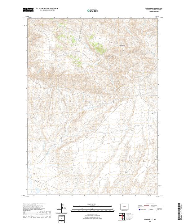
1959 Saddle Rock
Natrona County, WY
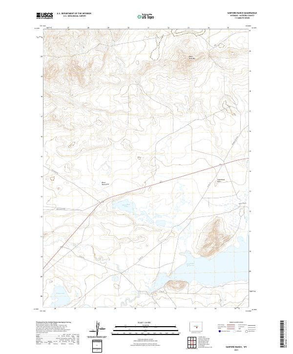
1959 Sanford Ranch
Natrona County, WY

1959 Stinking Water Creek
Natrona County, WY
1960 Bishop
Natrona County, WY
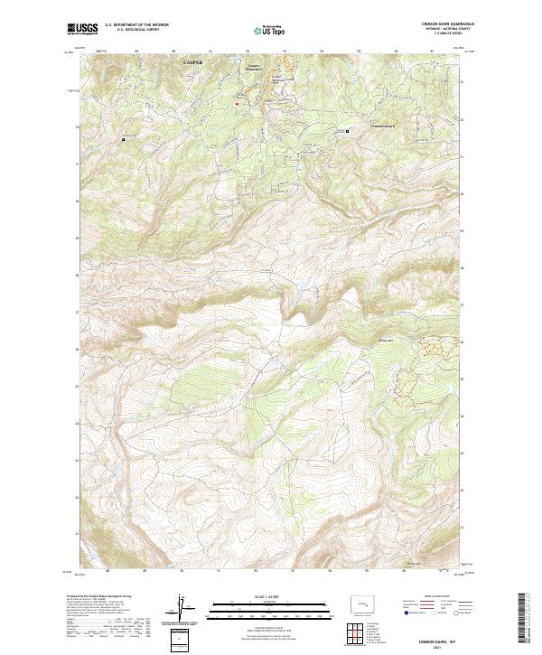
1960 Crimson Dawn
Natrona County, WY
1960 Emigrant Gap
Natrona County, WY
1960 Emigrant Gap NE
Natrona County, WY
1960 Freeland
Natrona County, WY
1960 Horse Peak
Natrona County, WY
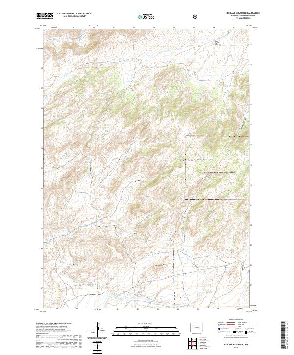
1960 Ice Cave Mountain
Natrona County, WY
1960 Mud Springs
Natrona County, WY
1960 Otter Creek
Natrona County, WY

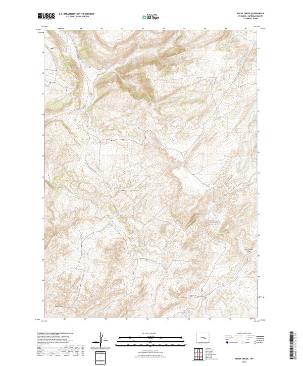
1960 Sheep Creek
Natrona County, WY
1960 Twin Buttes
Natrona County, WY
1961 Goose Egg
Natrona County, WY
1961 The Reefs
Natrona County, WY

1962 Arminto
Natrona County, WY
1968 Anderson Draw
Natrona County, WY
1968 Big Gulch
Natrona County, WY
1968 Big Sulfur Draw
Natrona County, WY
1968 Broken Horn Creek
Natrona County, WY
1968 Burlington Lake
Natrona County, WY
1968 Camel Hump Reservoir
Natrona County, WY
1968 Cave Gulch Reservoir
Natrona County, WY
1968 Fiftymile Flat
Natrona County, WY
1968 First Water Draw
Natrona County, WY
1968 Flat Top Hill
Natrona County, WY
1968 Government Creek
Natrona County, WY
1968 Hells Half Acre
Natrona County, WY
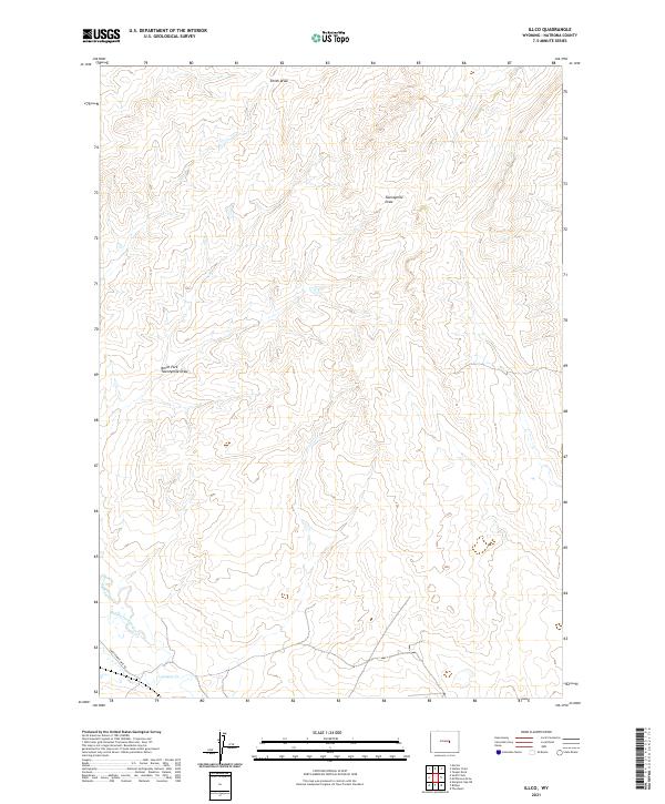
1968 Illco
Natrona County, WY
1968 McPherson Draw
Natrona County, WY
1968 Merino
Natrona County, WY

1968 Natrona
Natrona County, WY
1968 Notches Dome
Natrona County, WY
1968 Reynolds Reservoir
Natrona County, WY
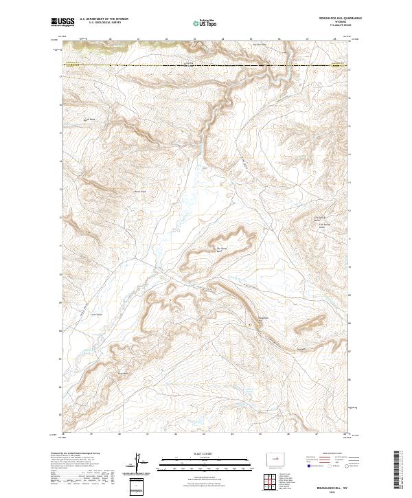
1968 Roughlock Hill
Natrona County, WY
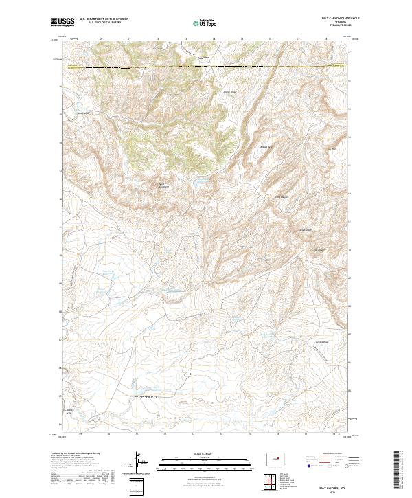
1968 Salt Canyon
Natrona County, WY
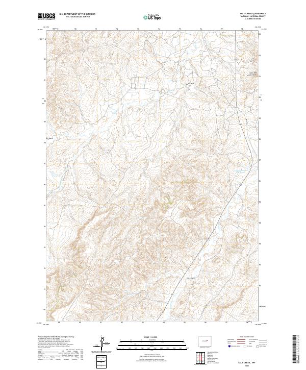
1968 Salt Creek
Natrona County, WY
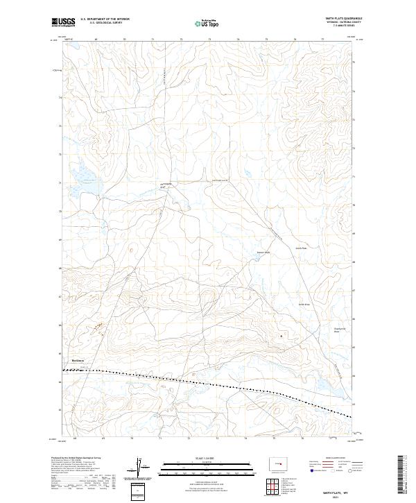
1968 Smith Flats
Natrona County, WY
1968 Statzer Point
Natrona County, WY
1968 Teapot Rock
Natrona County, WY
1968 Three Buttes
Natrona County, WY
1968 Willow Creek School
Natrona County, WY
1981 Rattlesnake Hills
Natrona County, WY

1982 Lysite
Natrona County, WY
1984 Ervay Basin SW
Natrona County, WY
1984 Gillam Draw West
Natrona County, WY
1984 Mc Kenzie Flat
Natrona County, WY
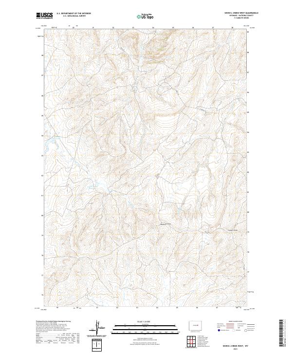
1984 Seven L Creek West
Natrona County, WY
1992 Ice Cave Mountain
Natrona County, WY
2021 Alcova SE
Natrona County, WY
2021 Anderson Draw
Natrona County, WY
2021 Arminto
Natrona County, WY
2021 Arminto NW
Natrona County, WY
2021 Arminto SW
Natrona County, WY
2021 Badwater
Natrona County, WY
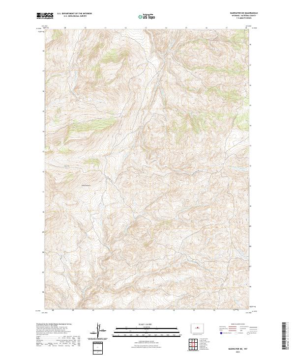
2021 Badwater NE
Natrona County, WY
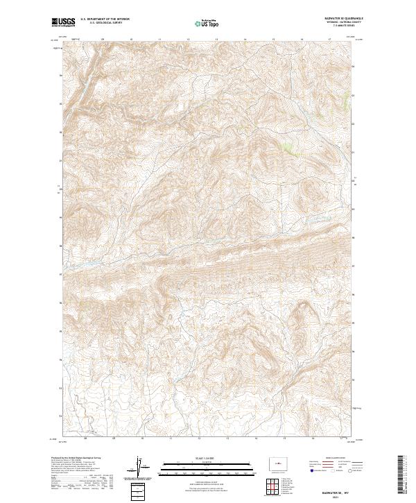
2021 Badwater SE
Natrona County, WY
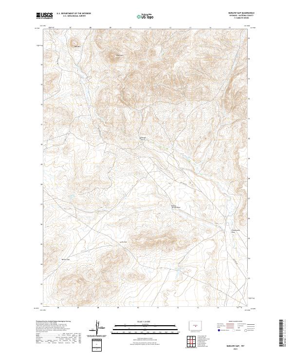
2021 Barlow Gap
Natrona County, WY
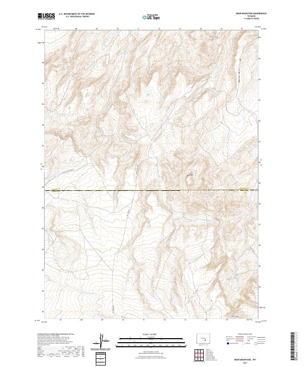
2021 Bear Mountain
Natrona County, WY
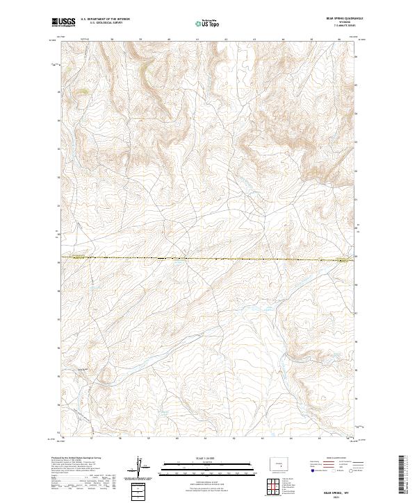
2021 Bear Spring
Natrona County, WY
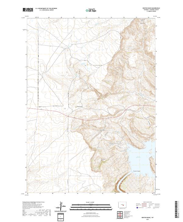
2021 Benton Basin
Natrona County, WY
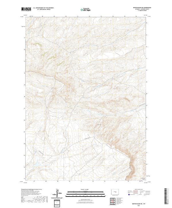
2021 Benton Basin NE
Natrona County, WY
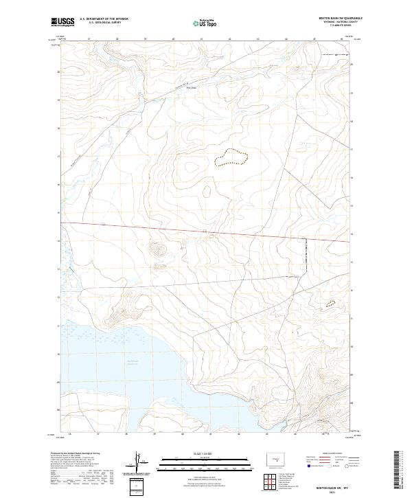
2021 Benton Basin SW
Natrona County, WY
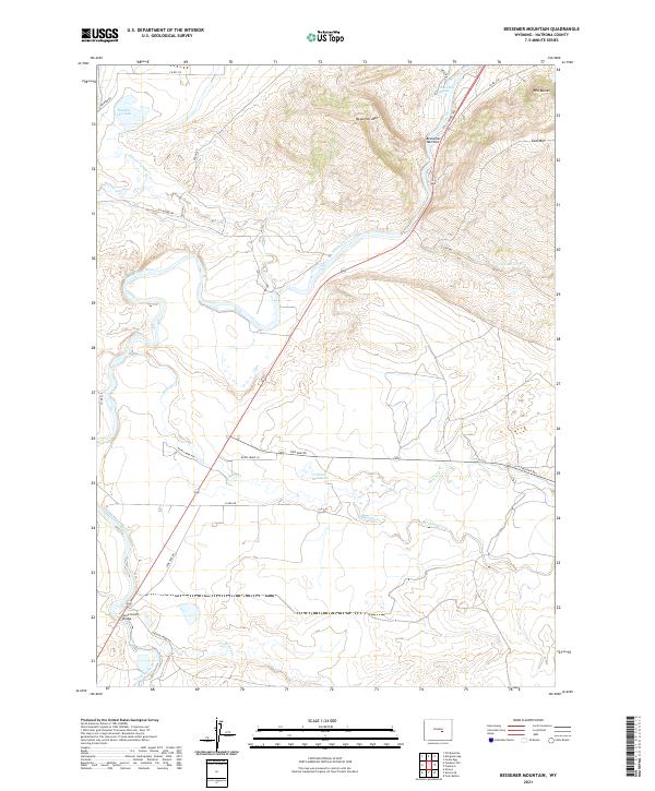
2021 Bessemer Mountain
Natrona County, WY
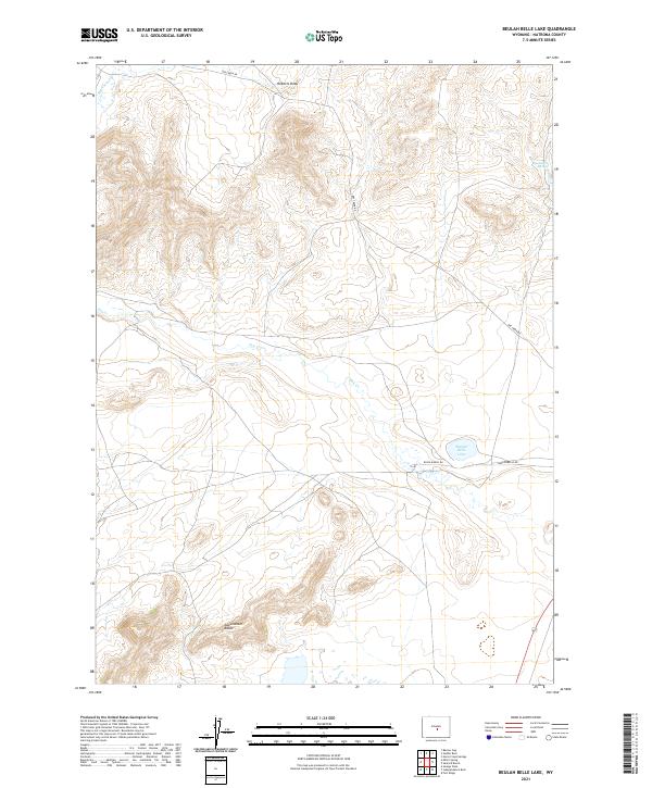
2021 Beulah Belle Lake
Natrona County, WY
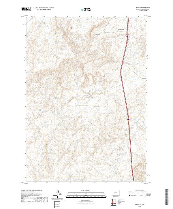
2021 Big Gulch
Natrona County, WY
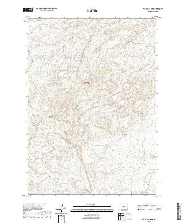
2021 Big Sulfur Draw
Natrona County, WY
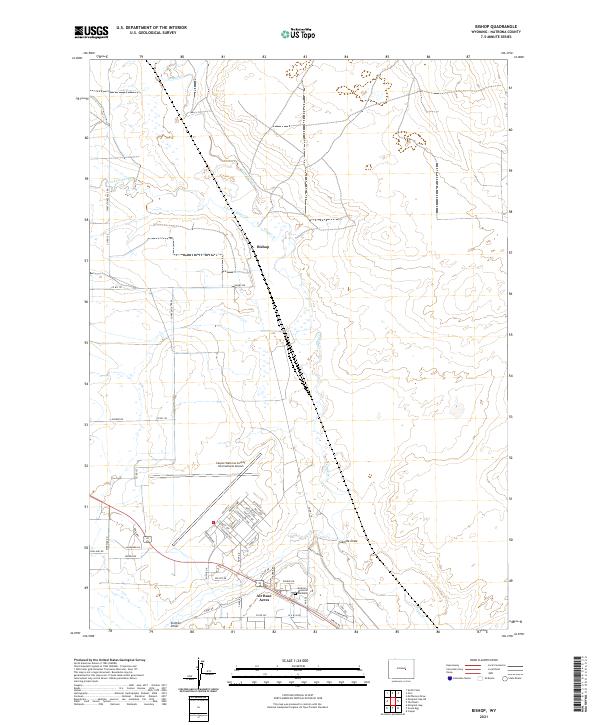
2021 Bishop
Natrona County, WY
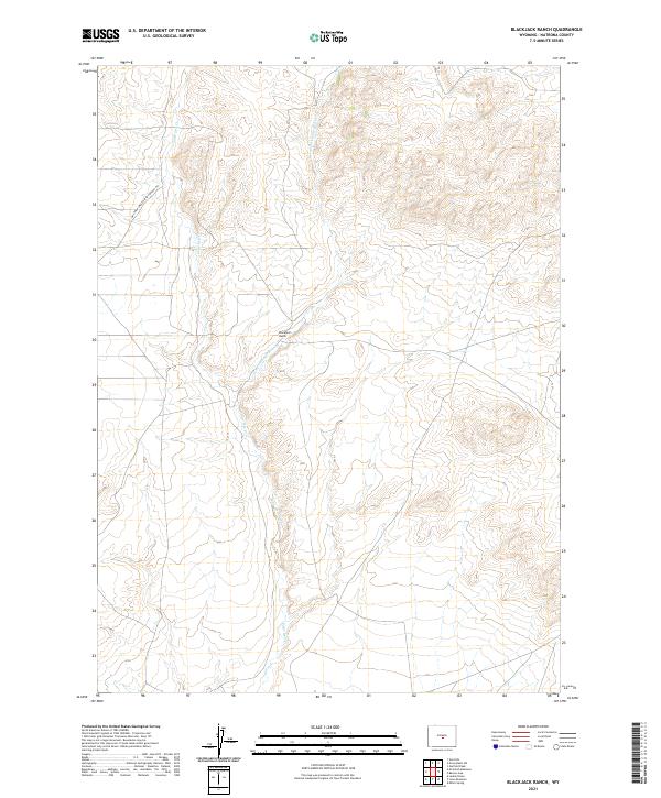
2021 Blackjack Ranch
Natrona County, WY
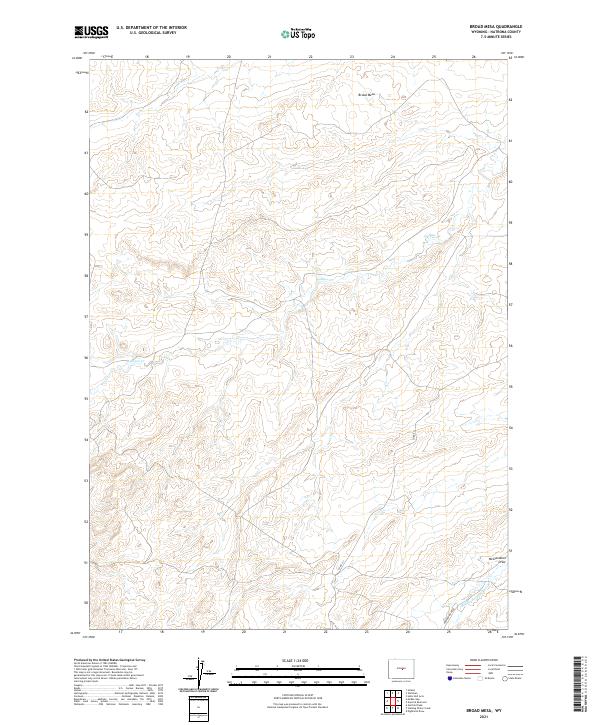
2021 Broad Mesa
Natrona County, WY
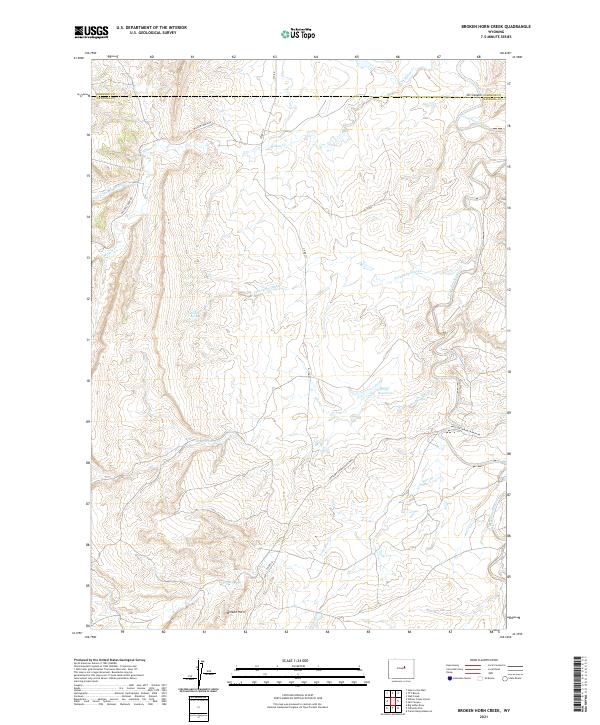
2021 Broken Horn Creek
Natrona County, WY
2021 Burlington Lake
Natrona County, WY
2021 Camel Hump Reservoir
Natrona County, WY
2021 Cave Gulch Reservoir
Natrona County, WY
2021 Clarkson Hill
Natrona County, WY
2021 Crimson Dawn
Natrona County, WY
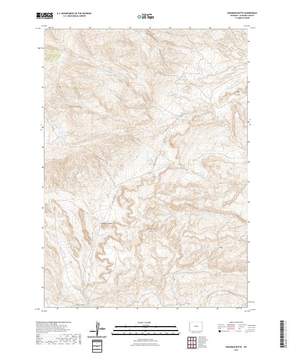
2021 Deadman Butte
Natrona County, WY
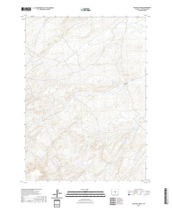
2021 Eightmile Draw
Natrona County, WY
2021 Emigrant Gap
Natrona County, WY
2021 Emigrant Gap NE
Natrona County, WY
2021 Emigrant Gap NW
Natrona County, WY
2021 Ervay Basin
Natrona County, WY
2021 Ervay Basin SW
Natrona County, WY
2021 Fiftymile Flat
Natrona County, WY
2021 First Water Draw
Natrona County, WY
2021 Flat Top Hill
Natrona County, WY
2021 Garfield Peak
Natrona County, WY
2021 Gaylord Reservoir
Natrona County, WY
2021 Gillam Draw West
Natrona County, WY
2021 Government Creek
Natrona County, WY
2021 Grave Spring
Natrona County, WY
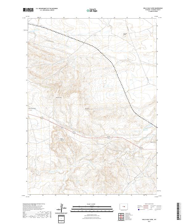
2021 Hells Half Acre
Natrona County, WY
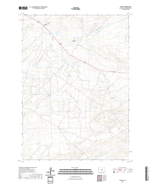
2021 Hiland
Natrona County, WY
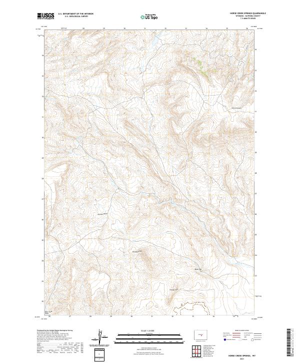
2021 Horse Creek Springs
Natrona County, WY
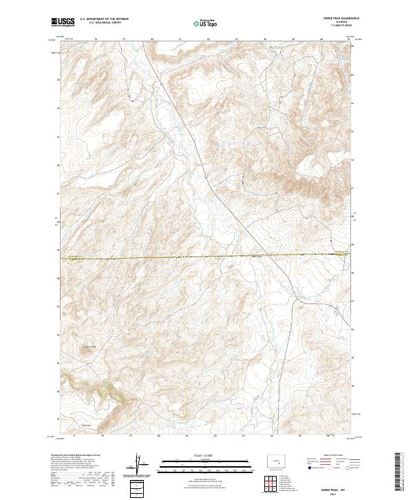
2021 Horse Peak
Natrona County, WY
2021 Ice Cave Mountain
Natrona County, WY
2021 Illco
Natrona County, WY
2021 Lone Mountain
Natrona County, WY
2021 McCleary Reservoir
Natrona County, WY
2021 McKenzie Flat
Natrona County, WY
2021 McPherson Draw
Natrona County, WY
2021 McRae Gap
Natrona County, WY
2021 Merino
Natrona County, WY
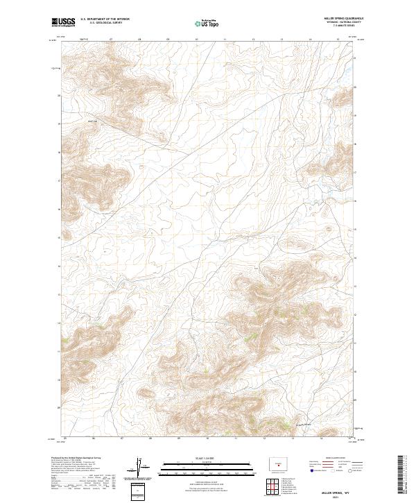
2021 Miller Spring
Natrona County, WY
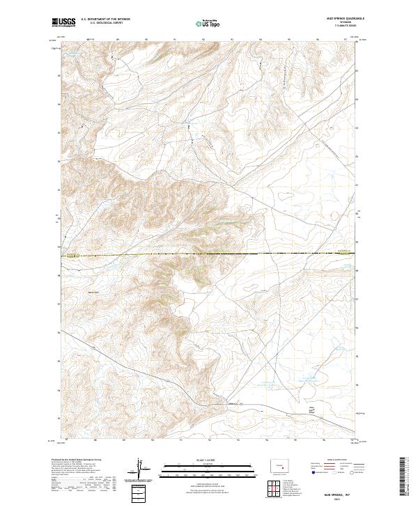
2021 Mud Springs
Natrona County, WY
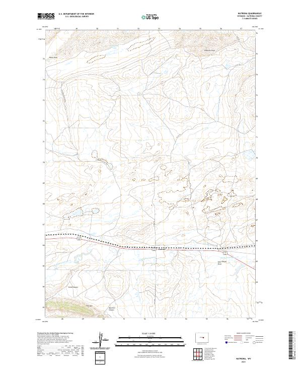
2021 Natrona
Natrona County, WY
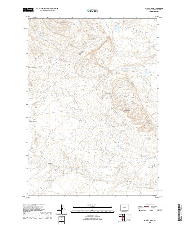
2021 Notches Dome
Natrona County, WY
2021 Oil Mountain
Natrona County, WY
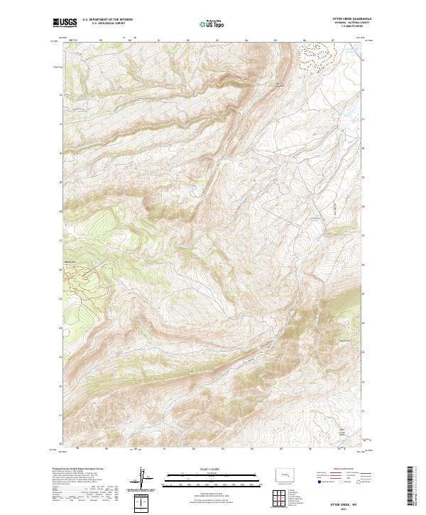
2021 Otter Creek
Natrona County, WY
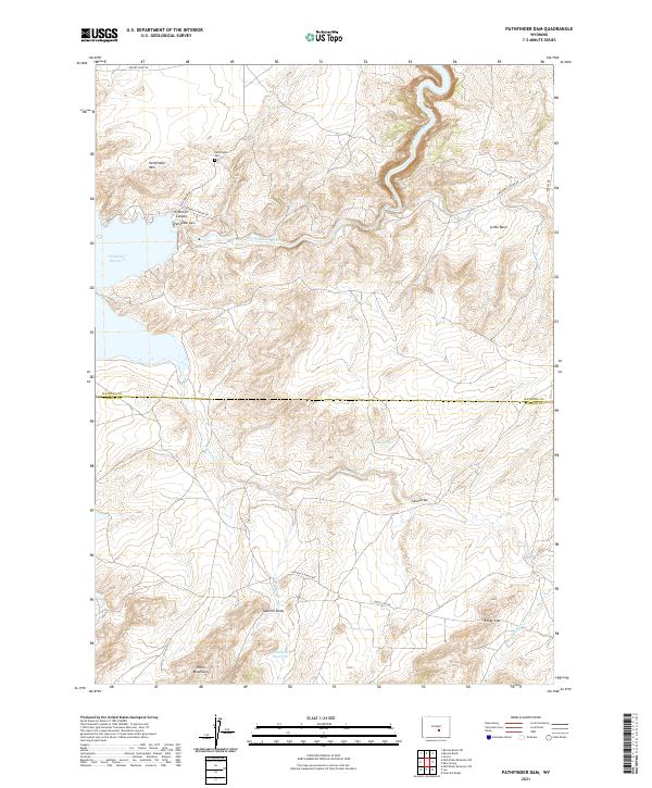
2021 Pathfinder Dam
Natrona County, WY
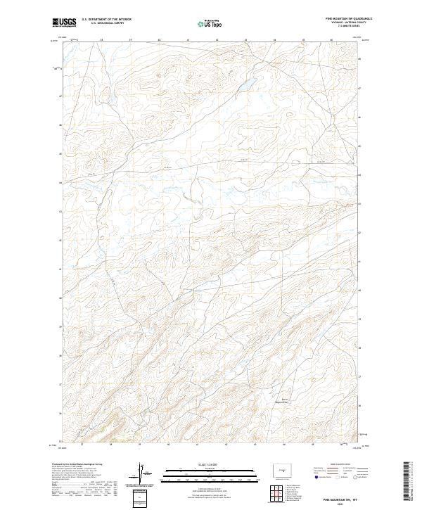
2021 Pine Mountain SW
Natrona County, WY
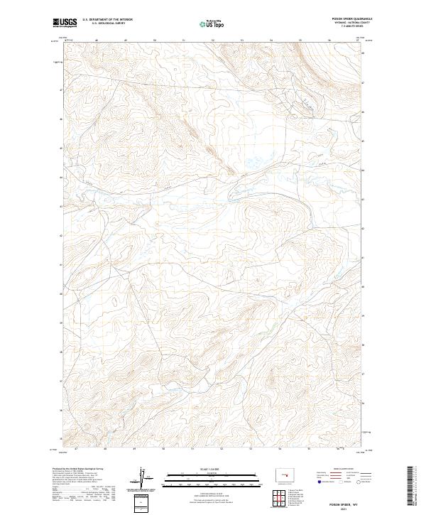
2021 Poison Spider
Natrona County, WY
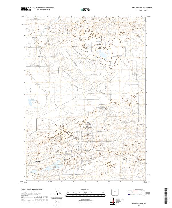
2021 Pratts Soda Lakes
Natrona County, WY
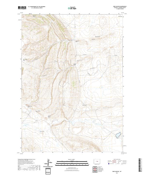
2021 Reid Canyon
Natrona County, WY
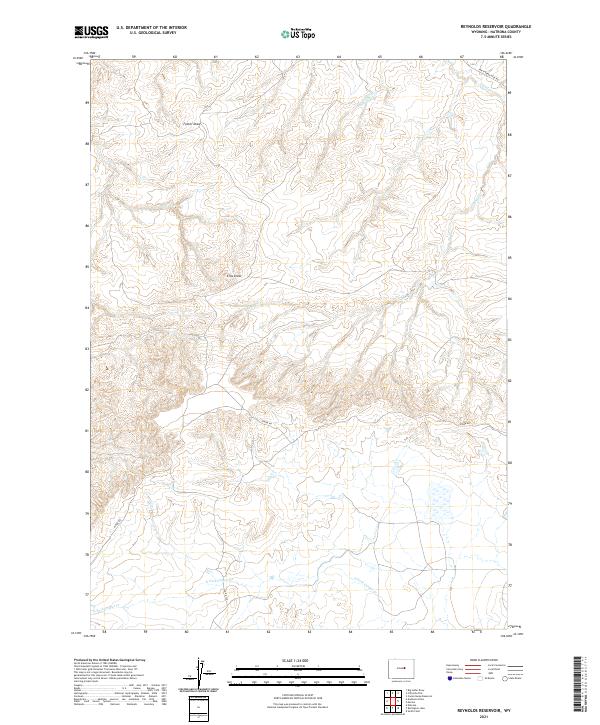
2021 Reynolds Reservoir
Natrona County, WY
2021 Roughlock Hill
Natrona County, WY
2021 Saddle Rock
Natrona County, WY
2021 Salt Canyon
Natrona County, WY
2021 Salt Creek
Natrona County, WY
2021 Sanford Ranch
Natrona County, WY
2021 Seven L Creek West
Natrona County, WY
2021 Sheep Creek
Natrona County, WY
2021 Sioux Pass
Natrona County, WY
2021 Smith Flats
Natrona County, WY
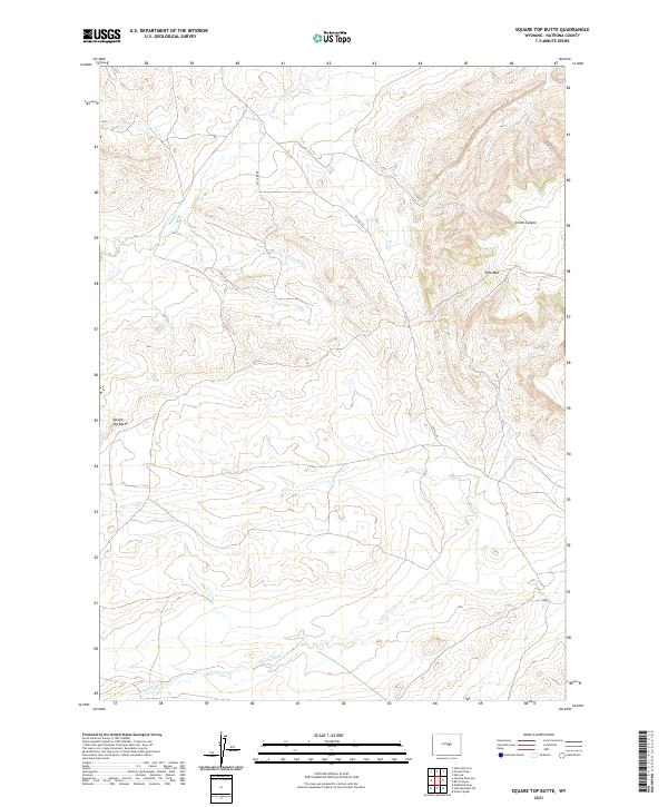
2021 Square Top Butte
Natrona County, WY
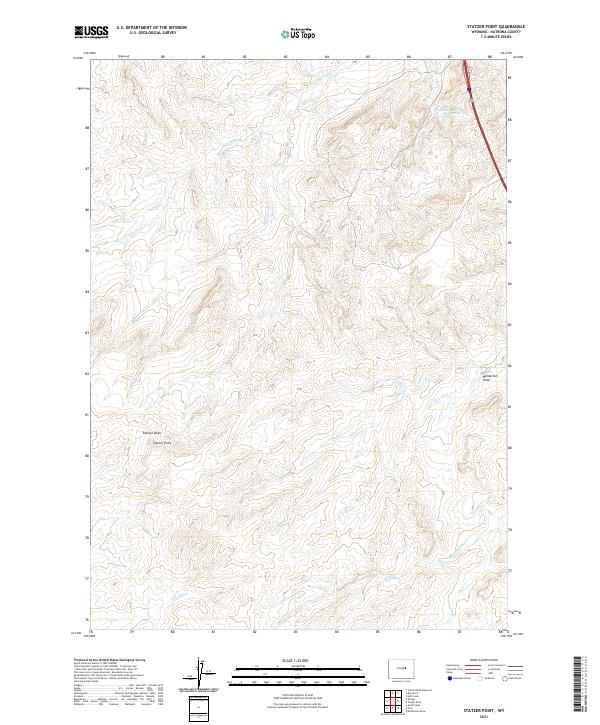
2021 Statzer Point
Natrona County, WY
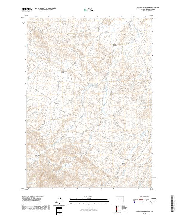
2021 Stinking Water Creek
Natrona County, WY
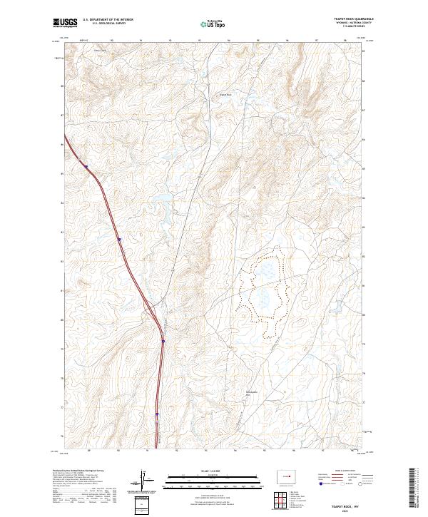
2021 Teapot Rock
Natrona County, WY
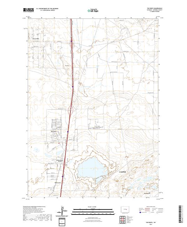
2021 The Reefs
Natrona County, WY
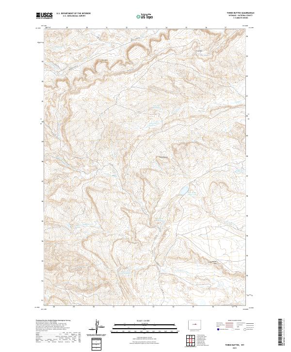
2021 Three Buttes
Natrona County, WY
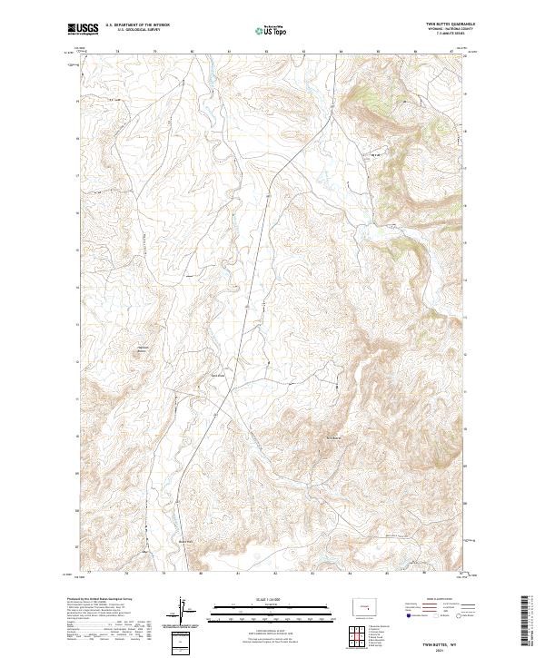
2021 Twin Buttes
Natrona County, WY
2021 Waltman
Natrona County, WY
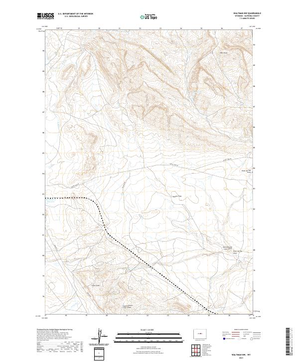
2021 Waltman NW
Natrona County, WY
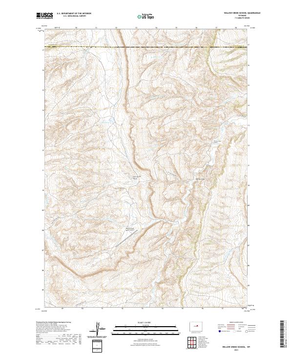
2021 Willow Creek School
Natrona County, WY
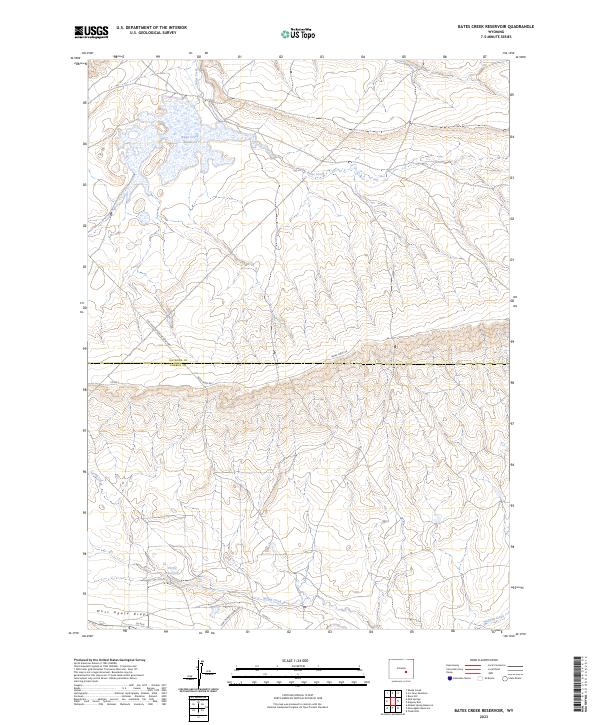
2023 Bates Creek Reservoir
Natrona County, WY
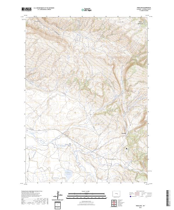
2023 Freeland
Natrona County, WY
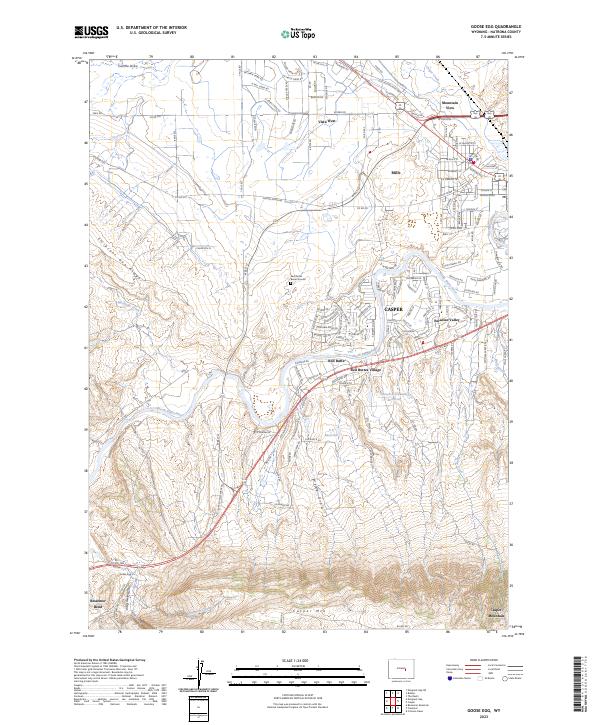
2023 Goose Egg
Natrona County, WY