
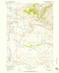
1951 Map of Bessemer Mountain
USGS Topo · Published 1952About this map
Bessemer Mountain and the surrounding high plains of Natrona County are captured here in a period of agricultural and infrastructural development. The North Platte River winds through the center of the sheet, flanked by the Red Buttes and the prominent Oregon Trail Historical Marker near Spear Ranch. This landscape is defined by the vital management of water in an arid environment, evidenced by an extensive network of irrigation features including the Aqueduct, various Ditch segments, and a Flume near Willow Creek.
Find a feature on this map
33 named features on this map. Tap any name to fly to it.
Don’t see what you’re looking for? This feature index may not catch every label — zoom into the map to look around manually.
Map Details
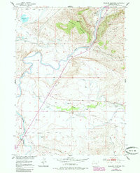
Editions of this 1951 Bessemer Mountain Map
3 editions found
Other maps of this area

1950 · Emigrant Gap
USGS Topo · 1:24,000

1950 · Goose Egg
USGS Topo · 1:24,000

1950 · Alcova SE
USGS Topo · 1:24,000

1950 · Alcova
USGS Topo · 1:24,000

1951 · Oil Mountain
USGS Topo · 1:24,000

1951 · Clarkson Hill
USGS Topo · 1:24,000

1955 · Casper
USGS Topo · 1:250,000

1958 · Casper
USGS Topo · 1:250,000
1960 · Emigrant Gap
USGS Topo · 1:24,000

1960 · Twin Buttes
USGS Topo · 1:24,000