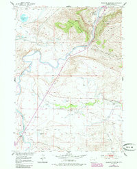
1951 Map of Bessemer Mountain
USGS Topo · Published 1985About this map
Bessemer Mountain and the distinct Red Buttes dominate this mid-century survey of the Wyoming landscape near the Bessemer Narrows. The North Platte River winds through the center of the sheet, carving through the terrain where the Oregon Trail Historical Marker indicates the path of early western migration. The map documents an established ranching economy, showing family-named properties like Speas Ranch, Two Bar Ranch, and Clark Ranch connected by primitive roads such as Stinking Creek Road.
Find a feature on this map
43 named features on this map. Tap any name to fly to it.
Don’t see what you’re looking for? This feature index may not catch every label — zoom into the map to look around manually.
Map Details
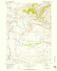
Editions of this 1951 Bessemer Mountain Map
3 editions found
Other maps of this area

1950 · Emigrant Gap
USGS Topo · 1:24,000

1950 · Goose Egg
USGS Topo · 1:24,000

1950 · Alcova SE
USGS Topo · 1:24,000

1950 · Alcova
USGS Topo · 1:24,000

1951 · Oil Mountain
USGS Topo · 1:24,000

1951 · Clarkson Hill
USGS Topo · 1:24,000

1951 · Bessemer Mountain
USGS Topo · 1:24,000

1955 · Casper
USGS Topo · 1:250,000

1958 · Casper
USGS Topo · 1:250,000
1960 · Emigrant Gap
USGS Topo · 1:24,000