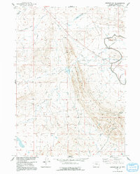
1951 Map of Emigrant Gap NW
USGS Topo · Published 1991About this map
Emigrant Gap Ridge dominates the central topography of this Natrona County landscape, surveyed in the early 1950s as part of the Missouri River Basin development program. The drainage network is characterized by several named draws and gulches, including Selby Draw, Jack Allen Draw, and Tie Bridge Gulch, which feed into the wider basin. Evidence of early hydraulic engineering for ranching or local industry is visible through a system of canals and ditches, some already marked as Ditch (Aban'd) at the time of the field check.
Find a feature on this map
19 named features on this map. Tap any name to fly to it.
Don’t see what you’re looking for? This feature index may not catch every label — zoom into the map to look around manually.
Map Details
Editions of this 1951 Emigrant Gap NW Map
3 editions found
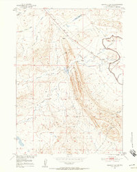
Other maps of this area

1950 · Emigrant Gap
USGS Topo · 1:24,000

1950 · Emigrant Gap NE
USGS Topo · 1:24,000

1951 · Oil Mountain
USGS Topo · 1:24,000

1951 · Emigrant Gap NW
USGS Topo · 1:24,000

1951 · Poison Spider
USGS Topo · 1:24,000

1951 · Reid Canyon
USGS Topo · 1:24,000

1955 · Arminto
USGS Topo · 1:250,000

1955 · Casper
USGS Topo · 1:250,000

1958 · Casper
USGS Topo · 1:250,000

1958 · Arminto
USGS Topo · 1:250,000