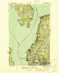
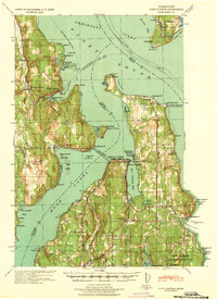
1942 Map of Edmonds
USGS Topo · Published 1944About this map
Whidbey Island and the Snohomish County shoreline face each other across the deep waters of Possession Sound and Puget Sound in this mid-century survey. The landscape is defined by the vital maritime and rail connections of the era, notably the Great Northern railroad winding along the eastern coast and the Ferry routes linking Kingston to the mainland. Coastal settlements like Edmonds, Mukilteo, and Richmond Beach appear during a period of steady growth, while inland areas show early residential patterns around Alderwood Manor and Lake Forest Park.
Find a feature on this map
51 named features on this map. Tap any name to fly to it.
Don’t see what you’re looking for? This feature index may not catch every label — zoom into the map to look around manually.
Map Details
Editions of this 1942 Edmonds Map
This is the sole edition of this map. No revisions or reprints were ever made.
Other maps of this area

1894 · Seattle
USGS Topo · 1:62,500

1895 · Snohomish
USGS Topo · 1:125,000

1897 · Seattle
USGS Topo · 1:125,000

1908 · Seattle
USGS Topo · 1:62,500

1909 · Seattle Special
USGS Topo · 1:62,500

1911 · Mount Vernon
USGS Topo · 1:125,000
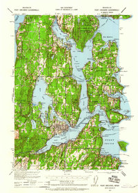
1937 · Port Orchard
USGS Topo · 1:62,500
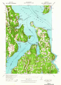
1937 · Port Gamble
USGS Topo · 1:62,500
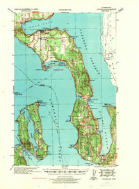
1939 · Coupeville
USGS Topo · 1:62,500
1940 · Port Gamble
USGS Topo · 1:62,500