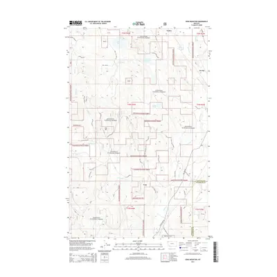
2014 Map of Edna Mountain
USGS Topo · Published 2014About this map
Kootenai National Forest dominates this section of Northwest Montana, where the rugged topography of the Whitefish Range defines the local landscape. The settlement of Trego sits along the southern edge of the sheet, serving as a gateway to the dense network of forest service roads that crisscross the terrain. Peaks like Edna Mtn overlook a series of glacial water bodies, including Marl Lake, Deep Lake, and Loon Lake. The drainage patterns are complex, with Fortine Cr and Edna Cr carving through the valleys. This map illustrates the intersection of timber management and recreation, where remote access routes such as Silver Spur Trl and Poston Camp Rd provide entry into the backcountry of Lincoln and Flathead counties. The northern portion features the expanse of Ant Flat, a distinctive clearing amidst the heavily forested mountain slopes.
Find a feature on this map
53 named features on this map. Tap any name to fly to it.
Don’t see what you’re looking for? This feature index may not catch every label — zoom into the map to look around manually.
Map Details
Editions of this 2014 Edna Mountain Map
This is the sole edition of this map. No revisions or reprints were ever made.
Other maps of this area
1913 · Stryker
USGS Topo · 1:125,000
1916 · Stryker
USGS Topo · 1:125,000

1957 · Kalispell
USGS Topo · 1:250,000

1960 · Kalispell
USGS Topo · 1:250,000

1961 · Kalispell
USGS Topo · 1:250,000
1963 · Mount Marston
USGS Topo · 1:24,000
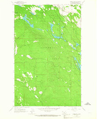
1963 · Eureka South
USGS Topo · 1:24,000
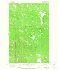
1963 · Davis Mountain
USGS Topo · 1:24,000
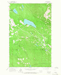
1963 · Stryker
USGS Topo · 1:24,000
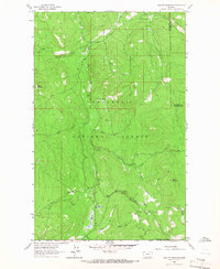
1963 · Skillet Mountain
USGS Topo · 1:24,000