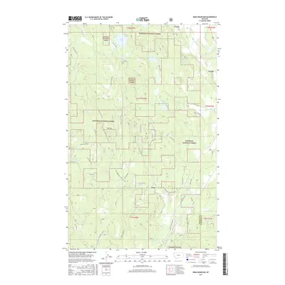
2017 Map of Edna Mountain
USGS Topo · Published 2017About this map
Trego and the surrounding timberlands of the Kootenai National Forest define this 2017 topographic survey in northwestern Montana. The landscape is characterized by a complex network of forest development roads, such as Natl Forest Develop Road 433 Rd and Ivory Creek Road 3590, which weave through the high terrain around Edna Mtn. Numerous water bodies are tucked into the drainages, including Marl Lake, Deep Lake, and the wetland areas of Dudley Slough. This region serves as a vital corridor for both natural waterways and forest management, where Fortine Cr and Beaver Cr flow through the valleys. The map also records the small settlement at Ant Flat and the county boundary between Lincoln and Flathead counties, providing a clear view of the interface between wilderness and rural habitation.
Find a feature on this map
49 named features on this map. Tap any name to fly to it.
Don’t see what you’re looking for? This feature index may not catch every label — zoom into the map to look around manually.
Map Details
Editions of this 2017 Edna Mountain Map
This is the sole edition of this map. No revisions or reprints were ever made.
Other maps of this area
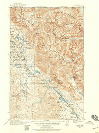
1913 · Stryker
USGS Topo · 1:125,000
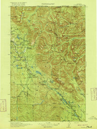
1916 · Stryker
USGS Topo · 1:125,000

1957 · Kalispell
USGS Topo · 1:250,000

1960 · Kalispell
USGS Topo · 1:250,000

1961 · Kalispell
USGS Topo · 1:250,000
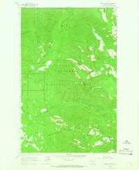
1963 · Mount Marston
USGS Topo · 1:24,000
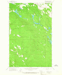
1963 · Eureka South
USGS Topo · 1:24,000
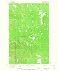
1963 · Davis Mountain
USGS Topo · 1:24,000
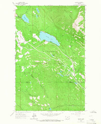
1963 · Stryker
USGS Topo · 1:24,000
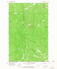
1963 · Skillet Mountain
USGS Topo · 1:24,000