2023 Map of Edon
USGS Topo · Published 2023About this map
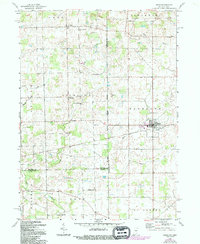
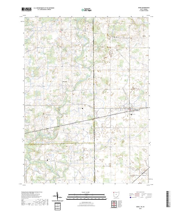
Edon serves as the primary hub of this landscape where the borders of Indiana and Ohio converge. The village layout is anchored by Jefferson St and Woodville St, while the surrounding rural terrain is defined by a dense network of county roads and a sophisticated drainage system including Donald Kunkle Ditch and Tamarack Ditch. For genealogists, the map is particularly detailed, locating several family-named burial sites such as Boisher Cem, Leggett Cem, and Eddy Cem scattered across the township lines.
Find a feature on this map
63 named features on this map. Tap any name to fly to it.
Don’t see what you’re looking for? This feature index may not catch every label — zoom into the map to look around manually.
Map Details
Editions of this 2023 Edon Map
This is the sole edition of this map. No revisions or reprints were ever made.