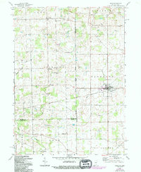
1961 Map of Edon
USGS Topo · Published 1994About this map
The village of Edon serves as the primary hub in this tri-state borderland, where the boundaries of Indiana and Ohio meet just north of the Steuben and DeKalb county lines. The landscape is defined by the meandering courses of Fish Creek and Bear Creek, which cut through a mosaic of agricultural plots and small timber stands. This 1961 survey (with revisions through 1994) captures a rural infrastructure dependent on localized crossings, such as Shaffer Bridge and Anspaugh Bridge.
Find a feature on this map
35 named features on this map. Tap any name to fly to it.
Don’t see what you’re looking for? This feature index may not catch every label — zoom into the map to look around manually.
Map Details
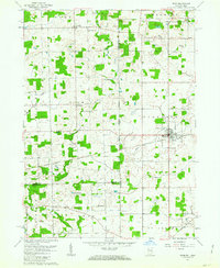
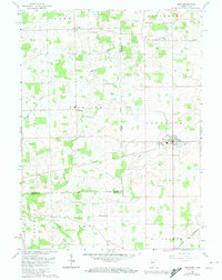
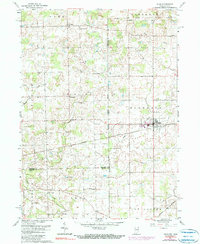
Editions of this 1961 Edon Map
4 editions found
Other maps of this area

1914 · Pioneer
USGS Topo · 1:62,500

1914 · Bryan
USGS Topo · 1:62,500

1939 · Hamilton
USGS Topo · 1:24,000

1939 · Angola East
USGS Topo · 1:24,000

1939 · Clear Lake
USGS Topo · 1:24,000

1940 · Metz
USGS Topo · 1:24,000

1940 · Clear Lake
USGS Topo · 1:24,000

1943 · Bryan
USGS Topo · 1:62,500

1944 · Pioneer
USGS Topo · 1:62,500

1947 · Angola East
USGS Topo · 1:24,000