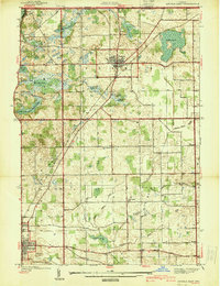
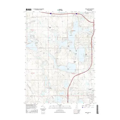
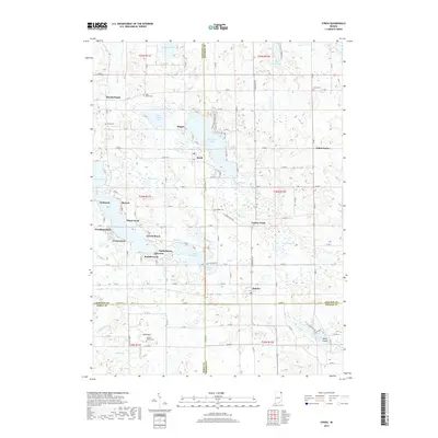
1939 Map of Angola East
USGS Topo · Published 1939About this map
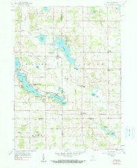
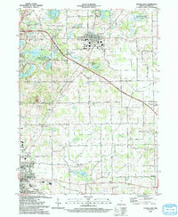
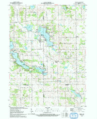
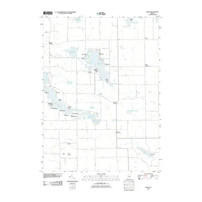
Fremont and the northern reaches of Angola anchor this topographic study of Steuben County, Indiana, as it appeared in the late 1930s. The landscape is defined by its glacial hydrology, featuring a dense network of water bodies such as Lake George, Cedar Lake, and Walters Lake, alongside an intricate system of agricultural drainage like Bruce Ryan Ditch and Eatinger Ditch. The New York Central railroad cuts a diagonal path through the terrain, serving the village of Fremont and connecting the local economy to wider regional markets.
Find a feature on this map
40 named features on this map. Tap any name to fly to it.
Don’t see what you’re looking for? This feature index may not catch every label — zoom into the map to look around manually.
Map Details
Editions of this 1939 Angola East Map
This is the sole edition of this map. No revisions or reprints were ever made.
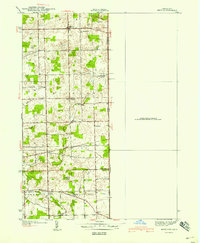
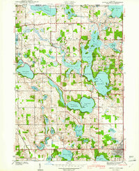
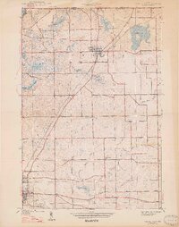
Historical Maps of Angola Through Time
27 maps found
1939 Angola East
Steuben County, IN
1940 Metz
Steuben County, IN
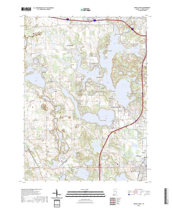
1941 Angola West
Steuben County, IN

1942 Angola West
Steuben County, IN

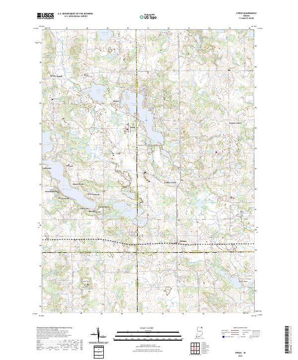
1942 Stroh
Steuben County, IN
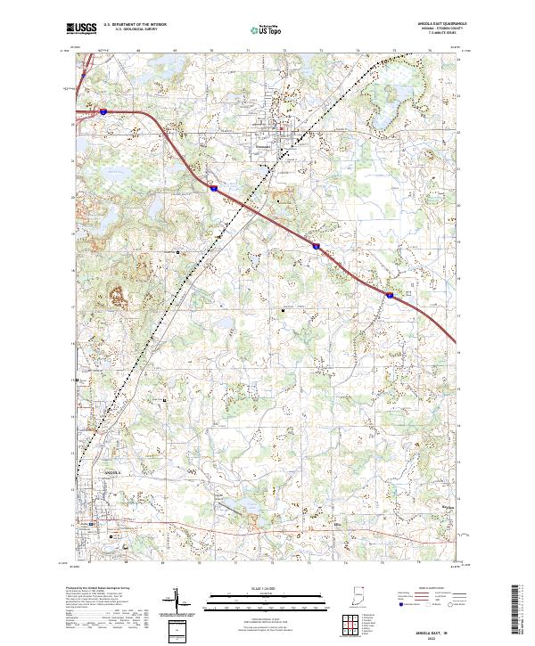
1947 Angola East
Steuben County, IN
1959 Stroh
Steuben County, IN
1960 Angola East
Steuben County, IN
1960 Angola West
Steuben County, IN
1992 Angola West
Steuben County, IN
1993 Angola East
Steuben County, IN
1993 Stroh
Steuben County, IN
2010 Angola East
Steuben County, IN
2010 Angola West
Steuben County, IN
2010 Stroh
Steuben County, IN
2013 Angola East
Steuben County, IN
2013 Angola West
Steuben County, IN
2013 Stroh
Steuben County, IN

2016 Angola East
Steuben County, IN
2016 Angola West
Steuben County, IN
2016 Stroh
Steuben County, IN
2019 Angola East
Steuben County, IN
2019 Angola West
Steuben County, IN
2019 Stroh
Steuben County, IN
2022 Angola East
Steuben County, IN
2022 Angola West
Steuben County, IN
2022 Stroh
Steuben County, IN