
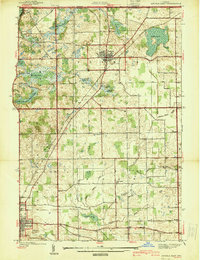
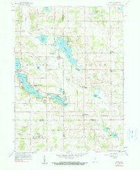
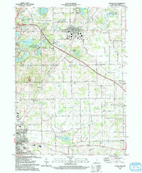
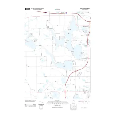
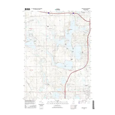
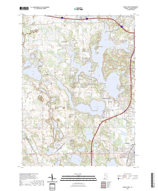
1942 Map of Angola West
USGS Topo · Published 1942About this map
Glacial lakes define the terrain of Steuben County on the eve of World War II, illustrating a landscape where recreation and agriculture coexisted. The massive expanse of Lake James dominates the center of the sheet, featuring notable landmarks like the Potawatomi Inn and various points of land including Lone Tree Point and Spring Point. Small communities and service centers such as Jamestown, Nevada Mills, and Inverness are connected by a network of local roads like Vistula Road. This era shows a well-established rural infrastructure, including the County Farm and several neighborhood institutions like the Collins School and Silver Lake Chapel. To the south, the city of Angola begins to spread near the Tri State Airport, while more than two dozen named water bodies, from Snow Lake to Lake Gage, suggest the early development of Indiana's lake country.
Find a feature on this map
64 named features on this map. Tap any name to fly to it.
Don’t see what you’re looking for? This feature index may not catch every label — zoom into the map to look around manually.
Map Details
Editions of this 1942 Angola West Map
This is the sole edition of this map. No revisions or reprints were ever made.
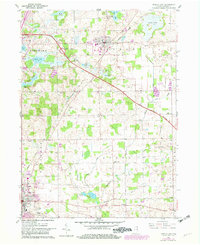
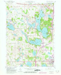
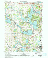
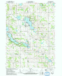
Historical Maps of Angola Through Time
27 maps found
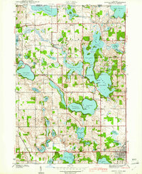
1939 Angola East
Steuben County, IN
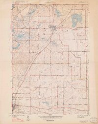
1940 Metz
Steuben County, IN
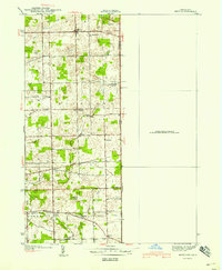
1941 Angola West
Steuben County, IN
1942 Angola West
Steuben County, IN

1942 Stroh
Steuben County, IN
1947 Angola East
Steuben County, IN
1959 Stroh
Steuben County, IN
1960 Angola East
Steuben County, IN
1960 Angola West
Steuben County, IN
1992 Angola West
Steuben County, IN
1993 Angola East
Steuben County, IN
1993 Stroh
Steuben County, IN
2010 Angola East
Steuben County, IN
2010 Angola West
Steuben County, IN
2010 Stroh
Steuben County, IN
2013 Angola East
Steuben County, IN
2013 Angola West
Steuben County, IN
2013 Stroh
Steuben County, IN

2016 Angola East
Steuben County, IN
2016 Angola West
Steuben County, IN
2016 Stroh
Steuben County, IN
2019 Angola East
Steuben County, IN
2019 Angola West
Steuben County, IN
2019 Stroh
Steuben County, IN
2022 Angola East
Steuben County, IN
2022 Angola West
Steuben County, IN
2022 Stroh
Steuben County, IN