Loading...
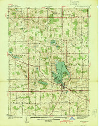
Loading map...1939 Map of Hamilton
USGS Topo · Published 1939About this map
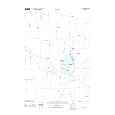
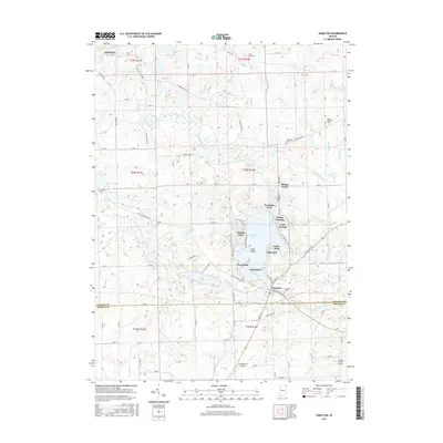
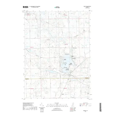
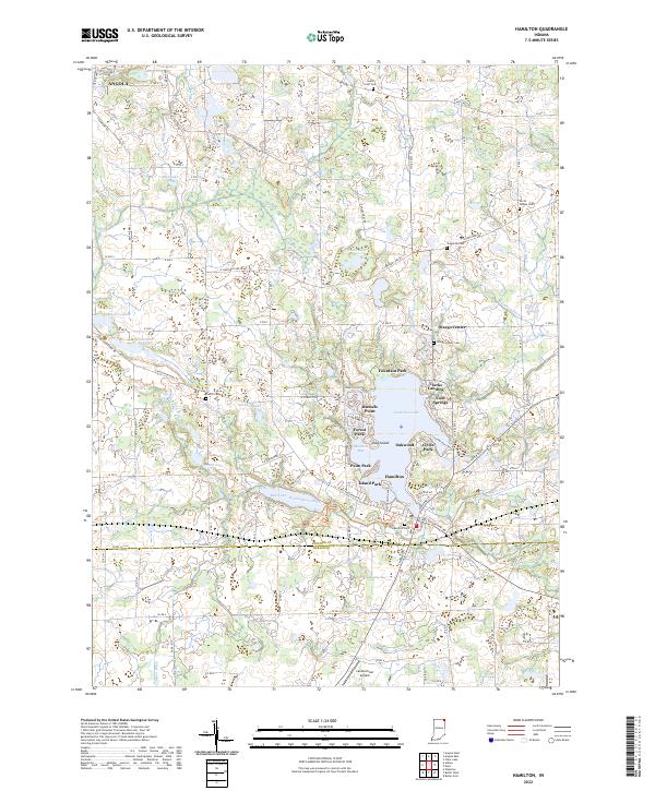
Hamilton serves as the focal point of this late-1930s landscape, situated along the southern shores of Hamilton Lake. The map captures a detailed transition between the glacial lakes of Steuben and Otsego townships and the farmsteads of northern De Kalb County. A network of rural structures is visible, including the Otsego Center Ch and School No 2, alongside numerous family-named burial grounds like Teagarden Cem and Carter Cem.
Find a feature on this map
48 named features on this map. Tap any name to fly to it.
Don’t see what you’re looking for? This feature index may not catch every label — zoom into the map to look around manually.
Map Details
Date Portrayed1939
Date Published1939
PublisherU.S. Geological Survey
Map TypeTopographic
Scale1:24,000
Physical Dimensions21.2 x 26.9 inches
Editions of this 1939 Hamilton Map
This is the sole edition of this map. No revisions or reprints were ever made.
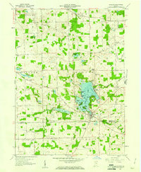
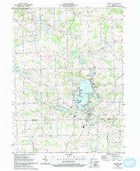
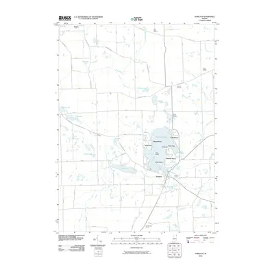
Historical Maps of Angola Through Time
9 maps found

Featured Locations
Source Details
SourceU.S. Geological Survey
CopyrightPublic Domain