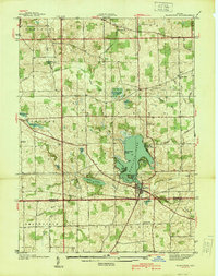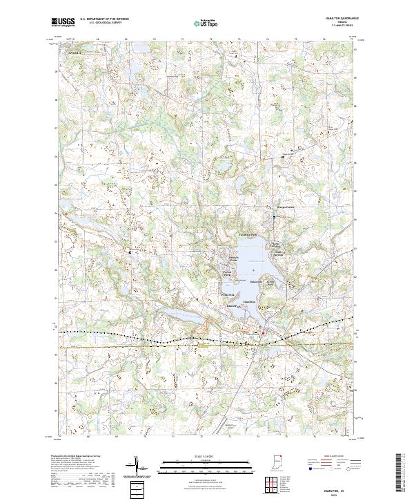
1948 Map of Hamilton
USGS Topo · Published 1948About this map
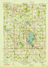
Hamilton Lake dominates this northern Indiana landscape, where the town of Hamilton is situated along its southern shoreline at the junction of the Wabash railroad. The map reflects a rural economy shaped by a complex network of glacial lakes and drainage systems, including Ball Lake and Pigeon Creek. Family and community history is preserved through the locations of numerous rural institutions such as South Scott Ch, School No 2, and several burial grounds including Carter Cem and Burch Cem. The presence of the Bellefontaine Road indicates the importance of early overland travel routes that preceded modern highway developments. This detailed survey by Albert Pike and his team illustrates the dense distribution of small farms and family-named ditches across Steuben and Otsego townships just after the war.
Find a feature on this map
47 named features on this map. Tap any name to fly to it.
Don’t see what you’re looking for? This feature index may not catch every label — zoom into the map to look around manually.
Map Details
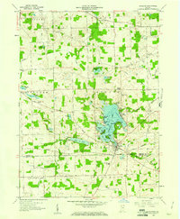
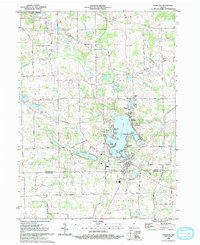
Editions of this 1948 Hamilton Map
2 editions found

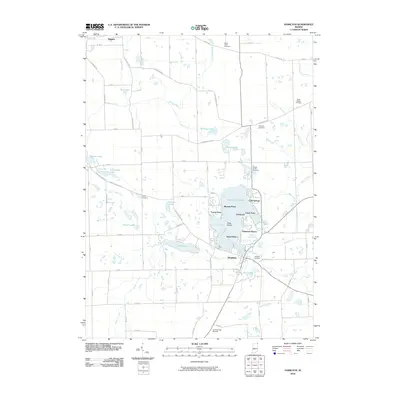
Historical Maps of Angola Through Time
9 maps found